Xairu Blue Crane Route
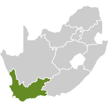
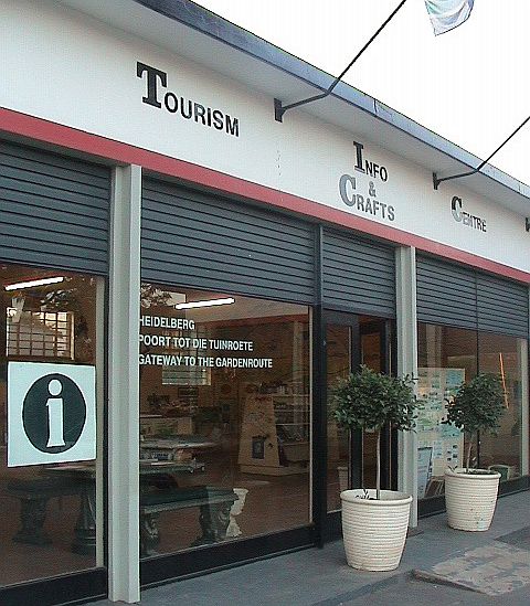
The Xairu Blue Crane Route is one of four blue crane routes in the Western Cape. It is located in and around the town of Heidelberg, which is about 276km east of Cape Town on the N2 national road. Heidelberg is fondly known as the 'gateway to the garden route'.
A history of Heidelberg:
Heidelberg in the Western Cape (not to be confused with the Heidelberg located southeast of Johannesburg in Gauteng Province) was established in 1885 along the banks of the Duivenhoks River on the farm Doornboom, bought from Louis Fourie because of the need for a church between Riversdale and Swellendam. The town was named after its namesake in Germany where the Heidelberg Catechism was formulated. Part of that city’s municipal coat of arms is included in the Heidelberg town crest.
Heidelberg harbours a treasure of beautiful old buildings, telling tales of generations of inhabitants spanning almost two centuries ago.
Heidelberg’s historic attractions include:
- The Homestead of Doornboom, dating back to 1728;
- The Brugsig house, which was apparently used during the Anglo-Boer War as a hide-away for women; and
- The “Boer en Brit” store in the centre of Heidelberg, which was used as an English fort during an attack on September 13 1901. At this time Heidelberg was a temporary home for the West Yorkshire Regiment and the building served as a magazine.
The town also has other historical features, including the Bentonite mine, the historical Dutch Reformed Church, the Heidelberg Hotel, the English cemetery, bushman cave paintings, Stone Age middens and the Duivenhoks River.
“Xairu” (pronounced with the 'x' as a click sound made by flattening the tongue on the roof of the mouth and then removing it) means “paradise” in the old language of the San people who used to inhabit the area – and it is deserving of its name.
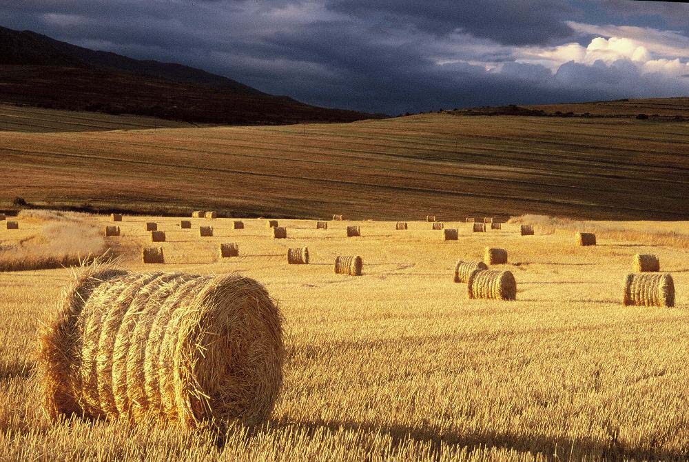
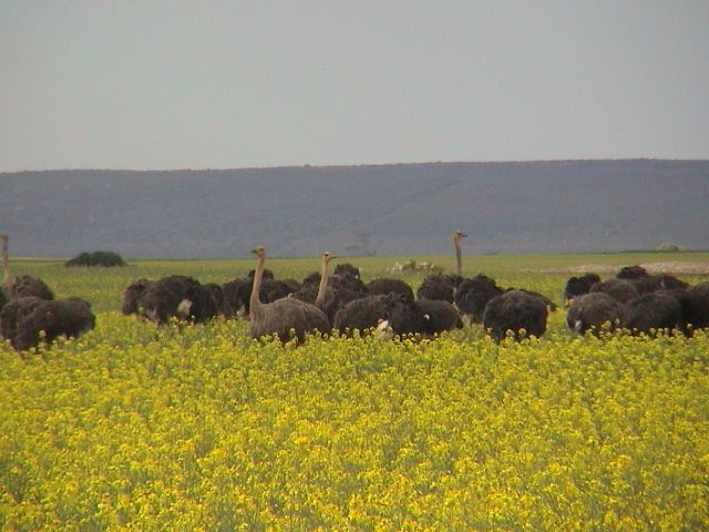
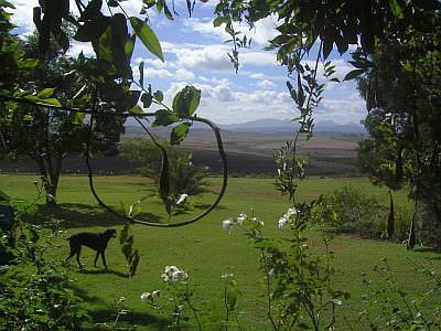
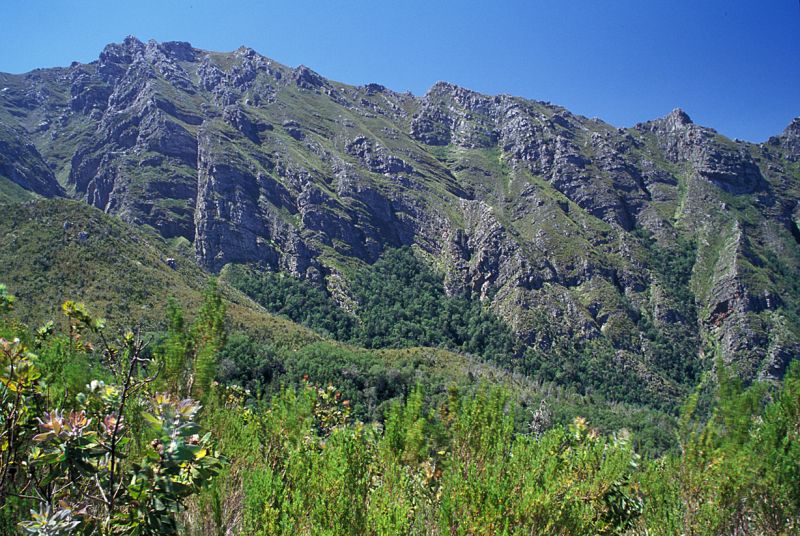
The route covers an area stretching from the impressive Langeberg Mountains, through rolling hills to the coastal dunes. It is, however, mostly farmland, mostly comprising wheat and canola fields – artificial habitat that has become the home of South Africa’s national bird, the blue crane. By simply driving along the roads in the area, one is likely to see flocks of blue cranes – quite often happily amongst flocks of ostriches (ostrich farming is also one of the main income generators in the area).
Overberg Blue Crane Group:
The Overberg Blue Crane Group is an initiative of the local farming community and Western Cape Nature Conservation Board, and is “Committed to conserving our endangered national bird in its last stronghold" – the Western Cape. To find out more visit: www.bluecrane.org.za.
What is exciting about the farming in the area is the fact that many of the farmers have joined together to form what is known as the Grootvadersbosch Conservancy – an amalgamation of farmers working towards a greater conservation ethic.
The Grootvadersbosch Conservancy is made up of 12 farms, the Grootvadersbos Nature Reserve (250ha) and the Boosmansbos Wilderness Area (14200ha). Together, this conservancy is helping to preserve some of the last remaining indigenous forest in the country, as well as protecting areas of mountain fynbos, themeda and renosterveld. Visitors have a wide selection of activities and accommodation to choose from in the conservancy.
Besides Heidelberg, the route also covers the villages of Suurbraak and Slangrivier and stretches to the coast near the village of Witsand.
The village of Suurbraak:
The original inhabitants of this area were known as the Attaqua Tribe of the Quena people. The town was developed as a mission station in 1812 by the London Missionary Society and was later taken over by the Algemene Sending mission of the Dutch Reformed Church. Community involvement in the church remains strong to this day.
Inhabitants of the village are still using horse-and-donkey-drawn ploughs, and almost every household has a cow for milk. Although there is electricity in the village, most people still use their wooden stoves, and fetch wood to fuel them in the forest alongside the river. A few households still have dung floors. Most people in the village own their own piece of land.
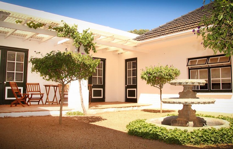
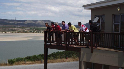
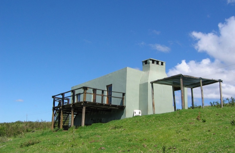
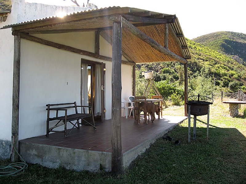
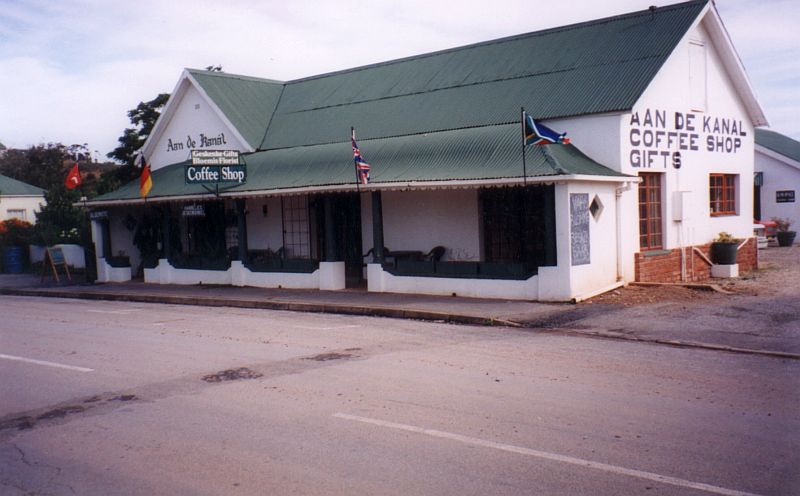
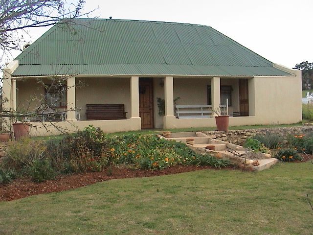
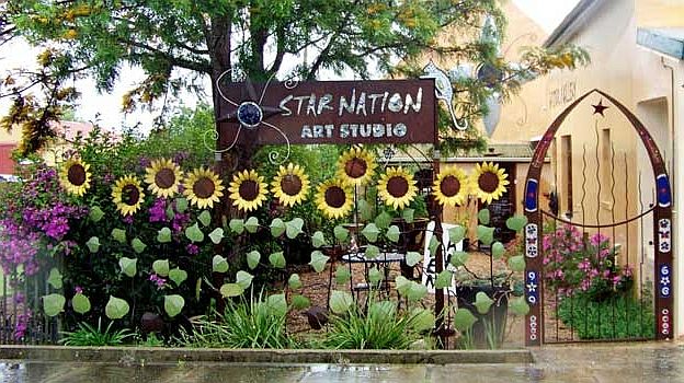
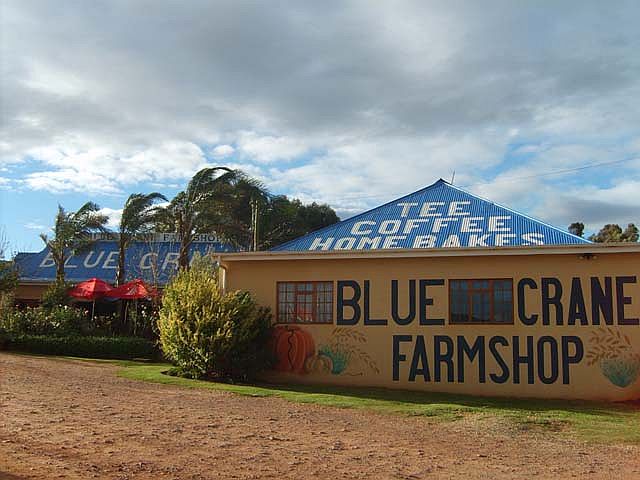
The route has a variety of attractions besides blue cranes. This is the land of charming country farmstalls, restaurants and coffee shops. It is also an area where one has a choice of staying in country hotels, in small B&Bs, on farms or camping in the local nature reserve.
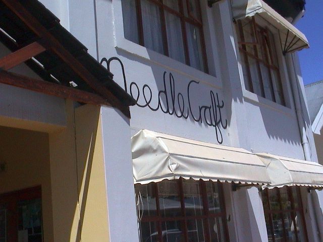
Adventurous activities on the route include hiking, mountain biking, horse riding through the fynbos, and quad biking over the coastal dunes. A stroll through the delightful village of Suurbraak is a must – as here one can see beautiful historical buildings, visit crafters, and have fun at the local farmyard. At Honeywood Farm, learn about bee-keeping and perhaps watch honey being processed. A trip to Heidelberg’s bentonite mine can also be accomplished through prior arrangements.
Bentonite:
Bentonite is mineral clay derived from the in situ erosion of volcanic ash. It consists mainly of colloidal clay with the ability to swell out enormously when it comes into contact with water. The clay is mined through an open cast method and is an extremely versatile material. It is used, among other things, in steel and iron foundries, in the production of paints, stock feeds, building materials and as a lubricant for oil rigs.
Some 20 million years ago volcanic eruptions occurred in the Heidelberg vicinity, causing a fault in the Earth’s crust. Through the ages the volcanic residue was exposed to water and the atmosphere and gradually changed into bentonite.
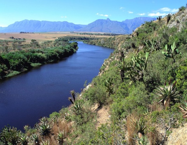
Closer to the coast, visitors can experience the only hand-powered pont in the country at Malgas. And of course, a trip to the coast would be made even more special by timing it between June and November to coincide with the whale-breeding season.
A moderate climate, plentiful water, clean air, rural tranquillity, friendly people and numerous activities make the Xairu Blue Crane Route area well deserving of a visit of at least a few days.
Useful Links
Nearby routes
Caledon Blue Crane Route
Lying at the southernmost tip of the African continent, where the Indian and Atlantic Oceans meet, is the Overberg, a fertile area surrounded by mountains and sea starting from a point 100km east of the city of Cape Town.
Cape Care Route
The City of Cape Town initiated the development of this route that offers visitors a different experience of the city, in that it focuses on sustainable development issues.
Cape Nature Route
Western Cape, South Africa: This route highlights the 'benefits beyond boundaries' of all reserves under Cape Nature Conservation.
Dwars River Escape Route
The Dwars River Escape Route covers the entire Dwars River Valley, located near the university town of Stellenbosch in the Western Cape of South Africa. The route covers a relatively short distance, but it is a valley packed full of attractions and activities for the tourist.
Khanyisa Cape Route
Western Cape, South Africa: This route goes through the townships of the Cape Flats. The Khanyisa Cape Route is all about pointing tourists to other destinations in the townships, not just the beaten track to struggle route landmarks.
KwaMandlenkosi Route
The township of Kwa-Mandlenkosi is situated just off the N1 highway approximately 1km south of Beaufort West, the home of the late pioneering heart surgeon, Professor Christiaan Barnard. This has become the focal point of one of the shortest Afrikatourism routes in the Open Africa project, and the first in the Great Karoo.
Mothers of Creation Route
The Garden Route is South Africa’s Garden of Eden, a combination of long, deserted beaches and tranquil lagoons, lush green forests and mountain ranges. Tourists can enjoy the abundant natural resources and meet local people while directly supporting the poorer communities and contributing to their sustainable future.
Porterville Blue Crane Route
The Porterville Blue Crane Route links the various attractions in and around the town under the banner of Blue Crane conservation, as the route is one of four Blue Crane routes in the Western Cape.
Sindwendwela Arts / Craft and Cultural Route
The route is situated south of the Great Karoo in the valley surrounded by the Groot Swartberg, Outeniqua and Kammanassie mountains, along the Garden Route in the Western Cape province, South Africa.
Southermost Route
The Southernmost Blue Crane Route is set in the south Western Cape region of South Africa and as the name suggests, the key feature of this route is South Africas national bird.
Southern Overberg Fynbos Route
The route stretches into the hidden corners of the Agulhas Plain, near the southern tip of Africa, as well as to Stanford, Gansbaai, Baardskeerdersbos, Pearly Beach, Elim and Wolvengat.
West Coast Rock Art Route
The San (Bushman) rock paintings in the Cederberg, Nardouwsberg, Koue Bokkeveld and Olifants River Valley north of Cape Town are amongst the most accessible in South Africa. The sites on this route together have about 25 rock shelters with hundreds of individual paintings.
West Coast Sea Kayaking Route
This 250km stretch of coastline is truly one of South Africa’s jewels. Rolling hills, lush coastal forest, quiet estuaries, wild seas and friendly people. The Wild Coast, aptly named for its seas, can be wild and adventurous.

Reviews
See all reviews about this route
Add a review
Have you been there? Let others know what you thought.