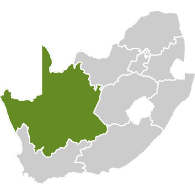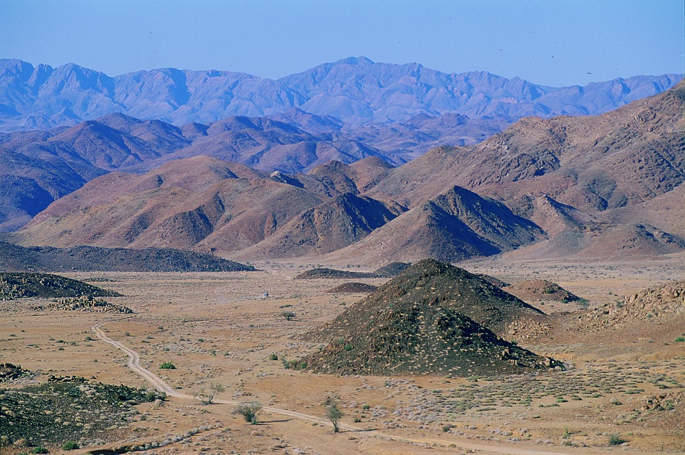

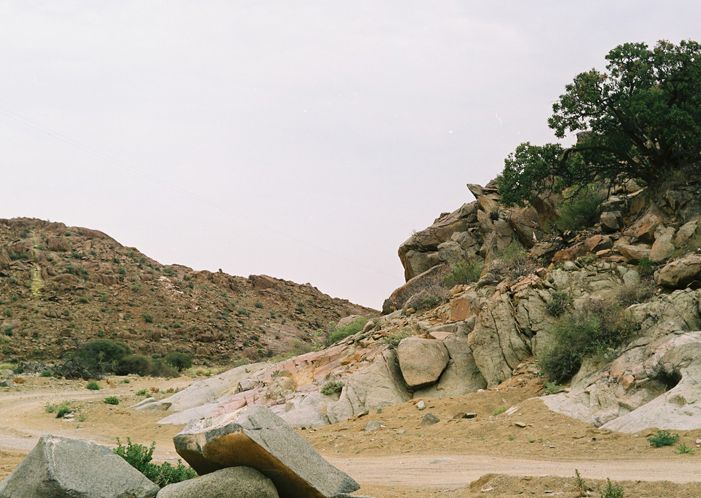
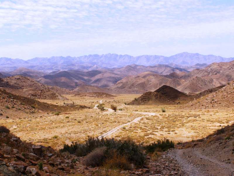

The Richtersveld is a mountainous desert situated in the north-west corner of South Africa. To its west is the cold and rough Atlantic Ocean while the remarkable Orange River, the largest river in South Africa, winds along its northern border. The Richtersveld has the highest diversity of succulent plants in the world (4 849 species, of which 1 940 are endemic), as well as eerie coastal mists, alluvial diamonds and truly indigenous cultures.
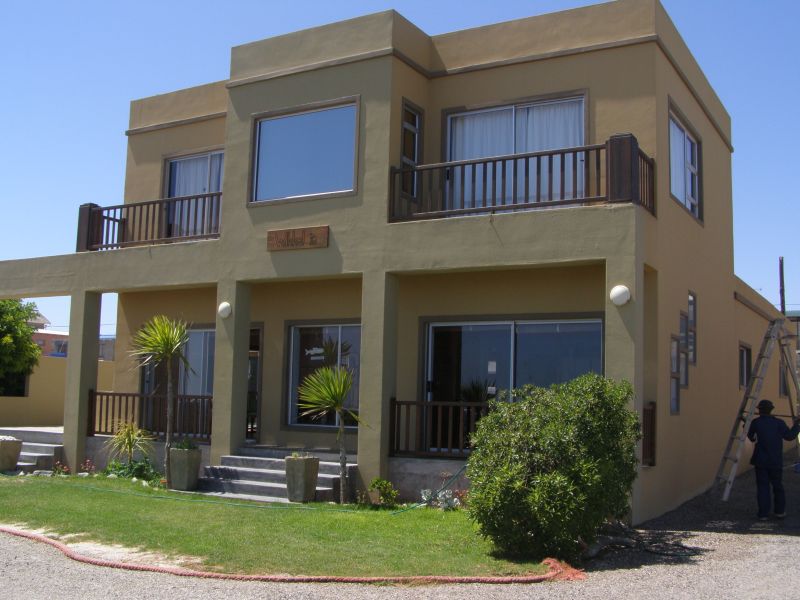
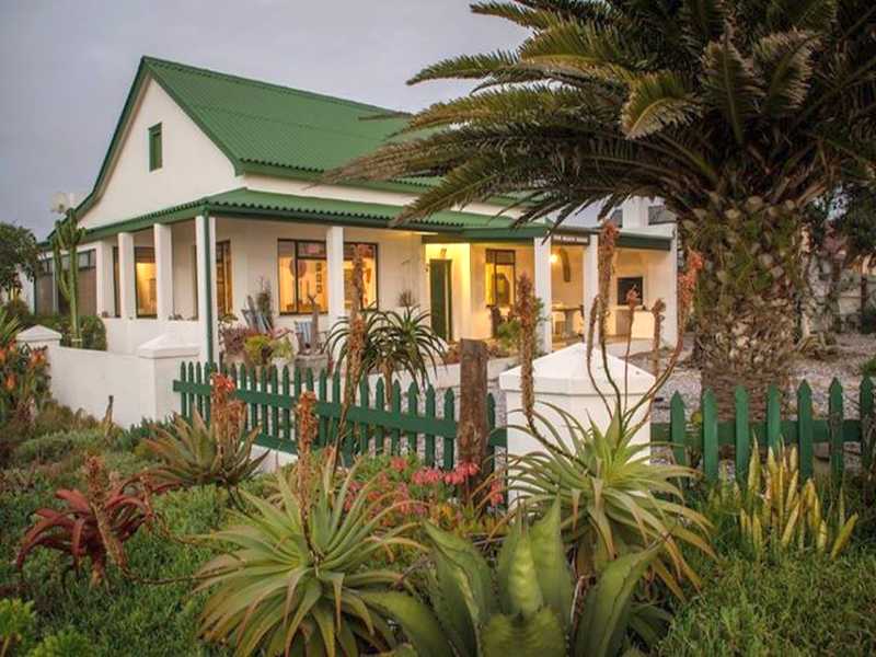
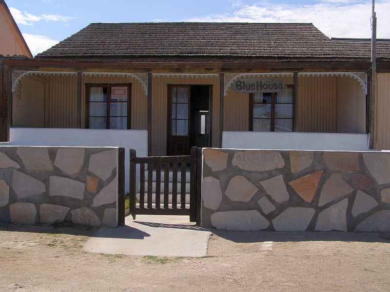
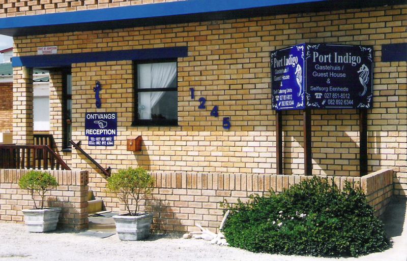
The Richtersveld has a harsh desert climate with temperatures reaching 50°C on summer days with cold nights. A main road (R382) branches off from the N7 highway at Steinkopf and heads to Port Nolloth, the gateway to the rest of the region. A number of dirt roads serve smaller towns and settlements in the region and the condition of these roads is variable, so enquire with the locals if you are travelling in a passenger vehicle. It is advisable to always have sufficient water supplies in your vehicle.
Reasons to visit:
Two of the most fascinating plants found in the Richtersveld are the kokerboom or quiver tree and the halfmensboom or ‘half-human tree‘. Several species of quiver trees (Aloe dichotoma) occur in the Richtersveld. These peculiar trees are similar to the other famous African tree, the baobab, as they also appear to be growing upside-down. Green succulent ‘leaves‘ sprout from the top of many root-like branches. These branches are hollow and the San people used them as quivers for their arrows, thereby naming the tree.
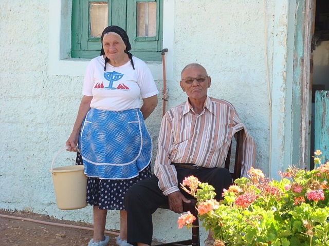
The halfmensboom (Pachypodium namaquanum), a succulent, appears half-human, half-plant with its portly base and bush of green ‘hair‘. Its single stem with occasional short branches can reach 4m in height. The trunk of the tree is covered in warty protuberances, and the flowers and fruits are produced among the leaves. The flowers, red inside and green outside, are tubular in shape and approximately 5cm long. An entertaining legend surrounds these interesting trees, but it is essential to visit the area and have it told by descendants of the Nama people.
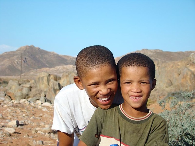
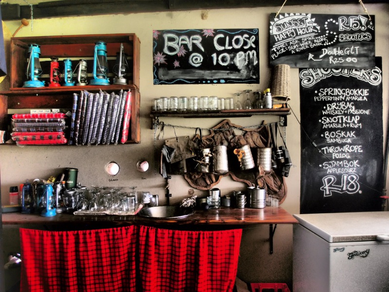
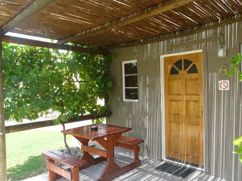
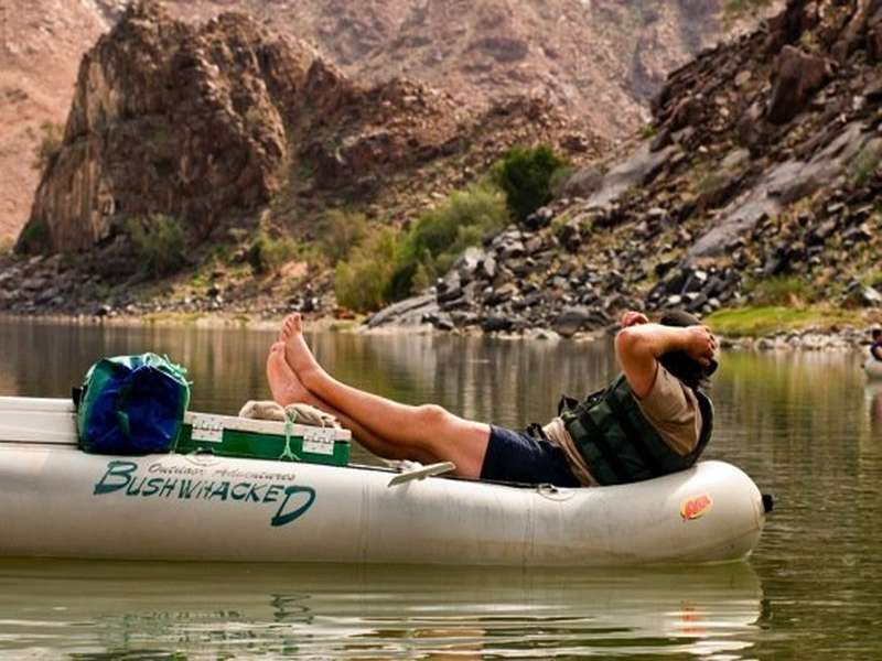
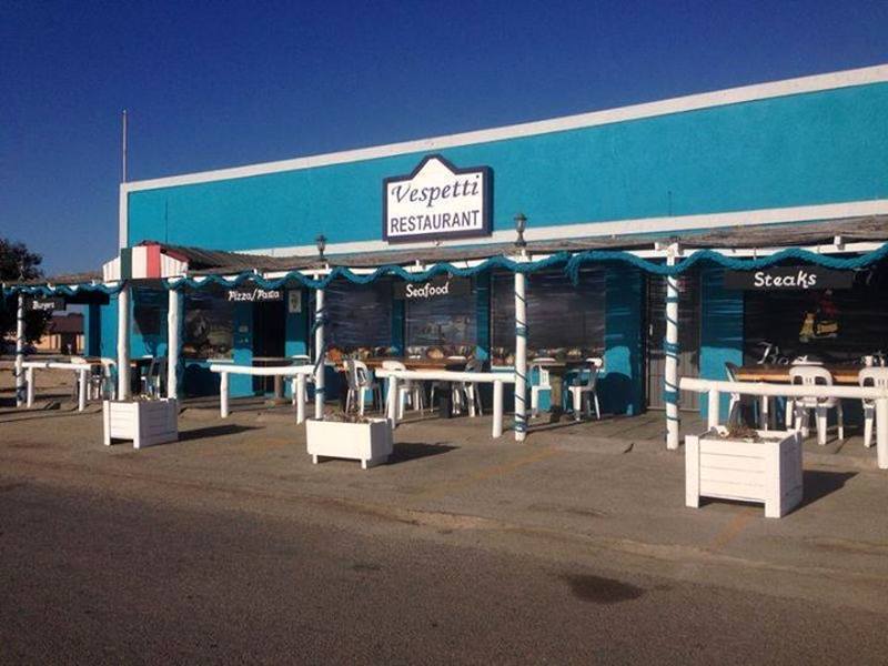
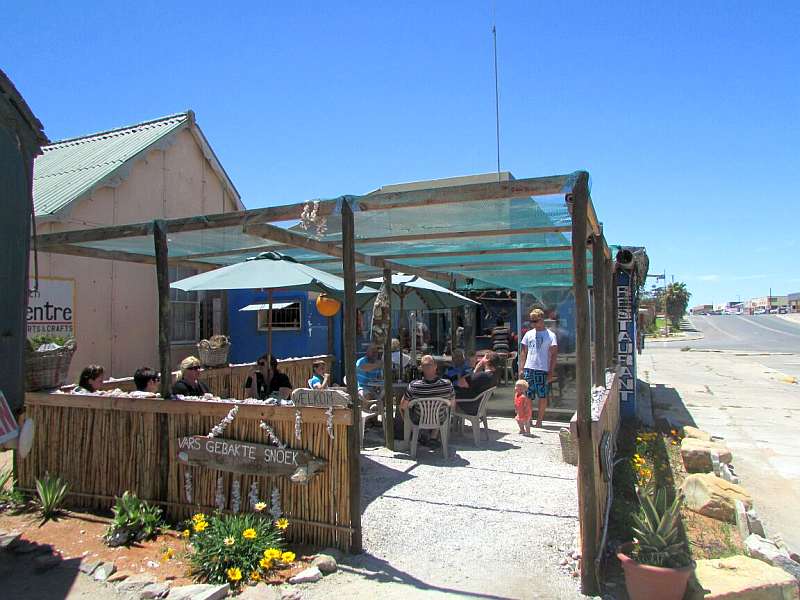
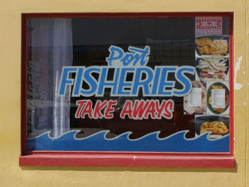
Activities on the Richtersveld Route include hiking, 4×4 trails, bird-watching, mountain biking and donkey-cart rides. Artists, seafood lovers, geologists, photographers and those interested in indigenous culture, diamond mining and desert-living will all find the Richtersveld enchanting.
The Richtersveld Route also embraces the Richtersveld National Park, a haven for the 4×4 enthusiast. The park is unique in that it is a contractual park – jointly managed by the local community and South African National Parks. Stock farmers may continue to graze their livestock in the park, thereby maintaining a centuries-old tradition. The Richtersveld National Park now also forms part of the Ais-Ais/Richtersveld Transfrontier Park.
Please note: The Pontoon is currently closed until further notice.