
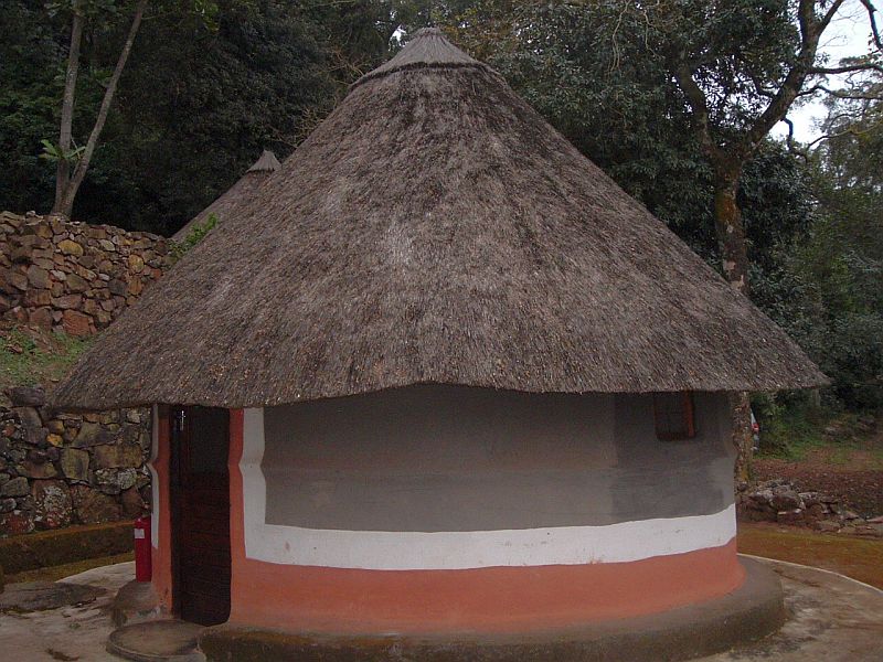


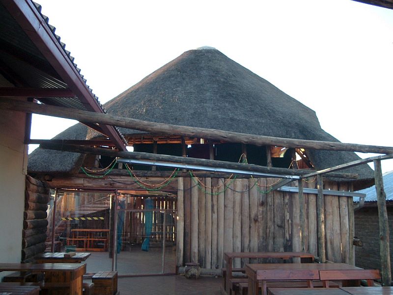

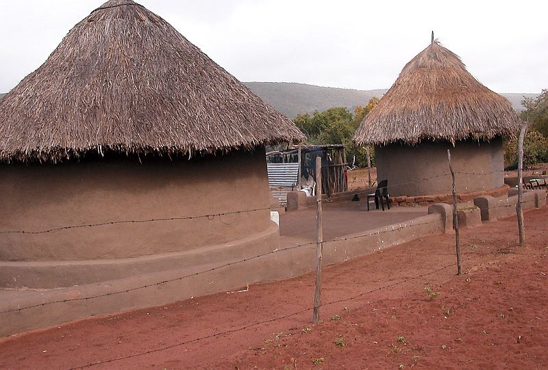


Travelling on this route offers a chance to explore high mountains, graceful valleys, clear waters and beautiful indigenous forests. Deep in the forests lie many hidden secrets, and mysteries, with the trickling waters and the thundering sounds of waterfalls, legends speak of sacred guardians of hidden lakes and ancient burial places. It also offers a different kind of city experience with a cultural vibe to it and a wide range of accommodation, from cultural to camping, to upmarket lodges and hotels. The natural setting provides stretches of indigenous bush, with features like the baobab tree, amazing wildlife and a diversity of bird species.
The Zoutpansberg is South Africa’s northern-most mountain range. Its name was taken from the salt pans that lie at its base near the western end. The salt pans have provided communities with salt from prehistoric times to the present. Boasting over 500 tree species, with 50 of these species being endemic either to the Zoutpansperg range or the Limpopo River Valley. the Zoutpansberg is also a birder’s paradise, with 467 species, and host to a variety of mammal, reptile and amphibian species, as well as the striking Swanepoel’s widow butterfly – endemic to the region.
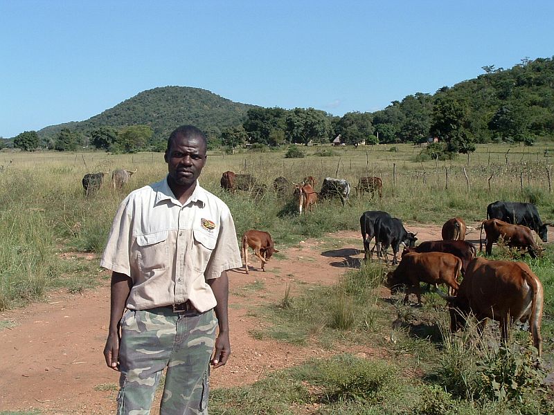
The mountains host many nature reserves and offer travellers a range of game farms and accommodation facilities. Activities like hunting and 4×4 driving are also available for the adventurous, as well as opportunities for climbers and hikers to explore the mountains.
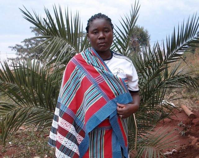
Cultures of the area include the Shangaan/Tsonga and the Vhavenda-speaking groups, but traces of many other influences are also visible, from the Boers to the German missionaries and even the English. It is safe to say that the predominant cultures are collaboratively from the ‘people of the north’, who migrated from northern African countries into Southern Africa. In Venda, the VhaVenda’s history tells of this journey through ruins and legends.
Please take note that visitors should not swim or bathe in rivers and dams in the lowland areas, since the area carries a bilharzia risk. Visitors should also be aware that this is a lower-risk malaria area so they should consult their doctor for malaria prophylaxis before visiting the area.
Reasons to visit:
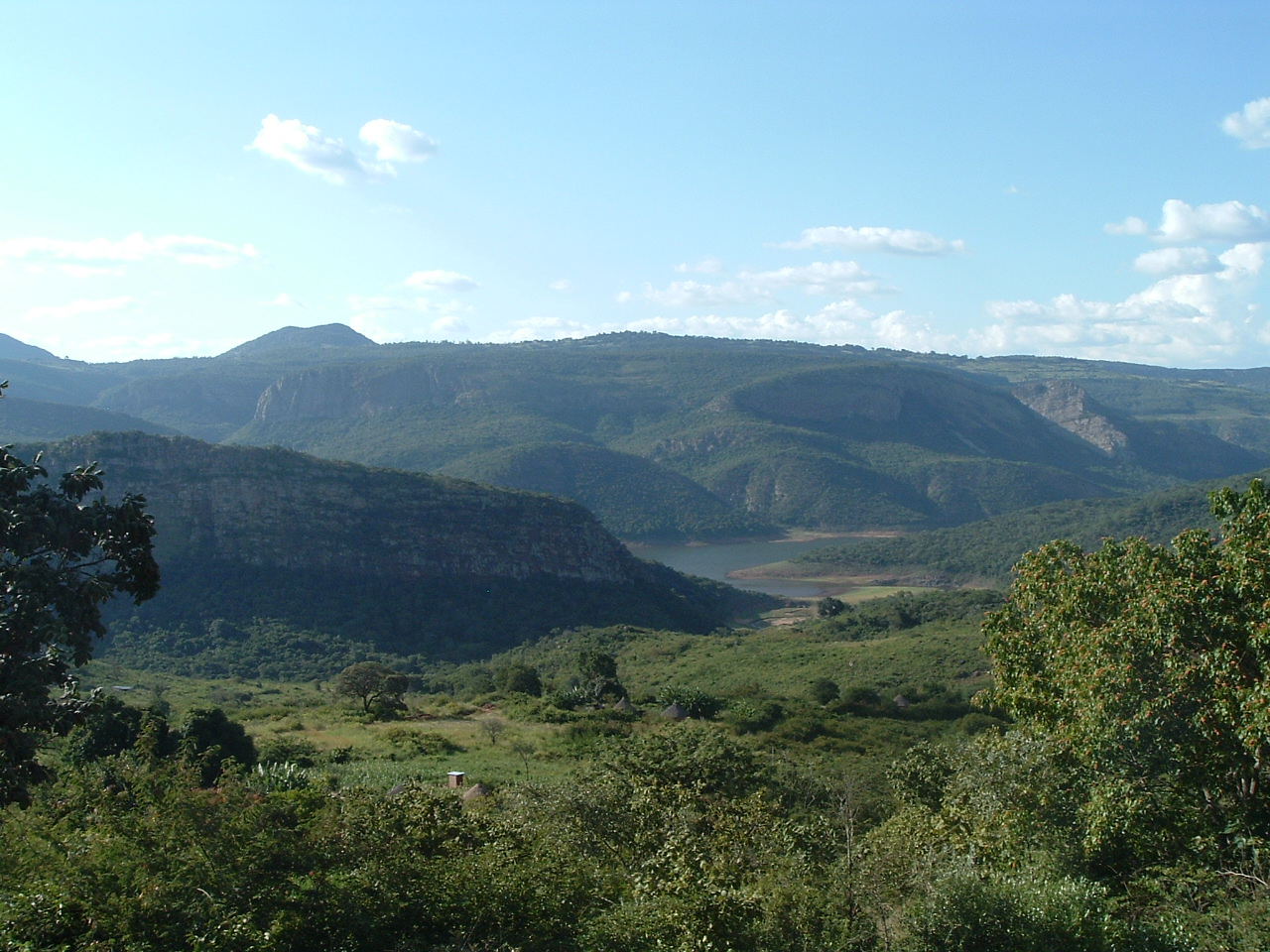
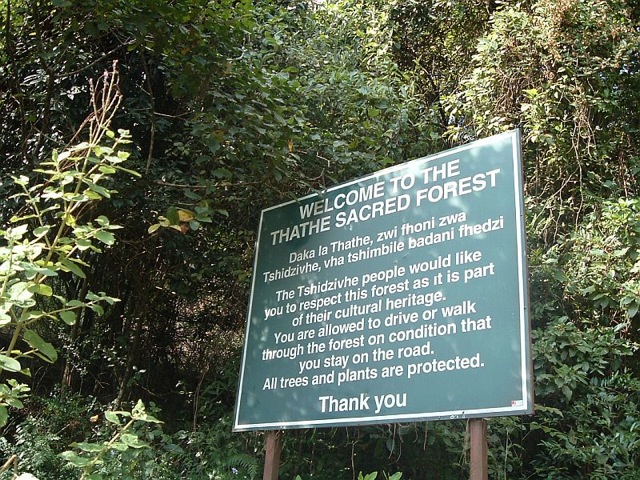
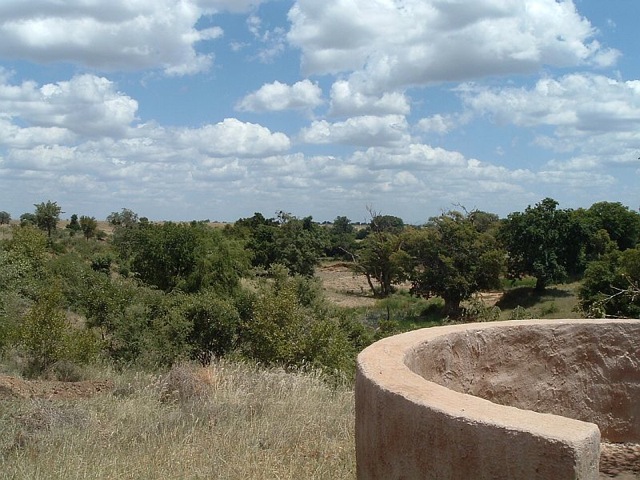
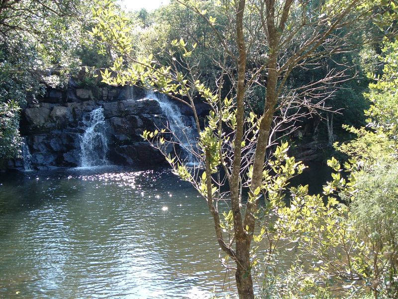
There is a beautiful view of Lake Fundudzi from the hills just outside Thohoyandou and Sibasa. It is also here where the Thathe Vondo Forest is located. Within this forest lies the Sacred Forest, with giant hardwoods, tree ferns, lianas and creepers. But visitors may only enter the forest if they agree to stay on the path. Even common VhaVhenda folk are forbidden in the forest, as it is where the chiefs of the Thathe clan lay buried. There are also many mysteries and legends surrounding this sacred place.
It is best to visit this forest with a guide, as they can tell the stories and legends in detail and with enthusiasm, making the experience more memorable. From the Thathe Vondo Forest, there is also a beautiful view of the Thathe Vondo Dam and perhaps the perfect place to take a moment to absorb all the mystery and intrigue. The forest encompasses the Thathe Vondo Tea Estates, Mahovhovho Falls and Mukumbani Dam.
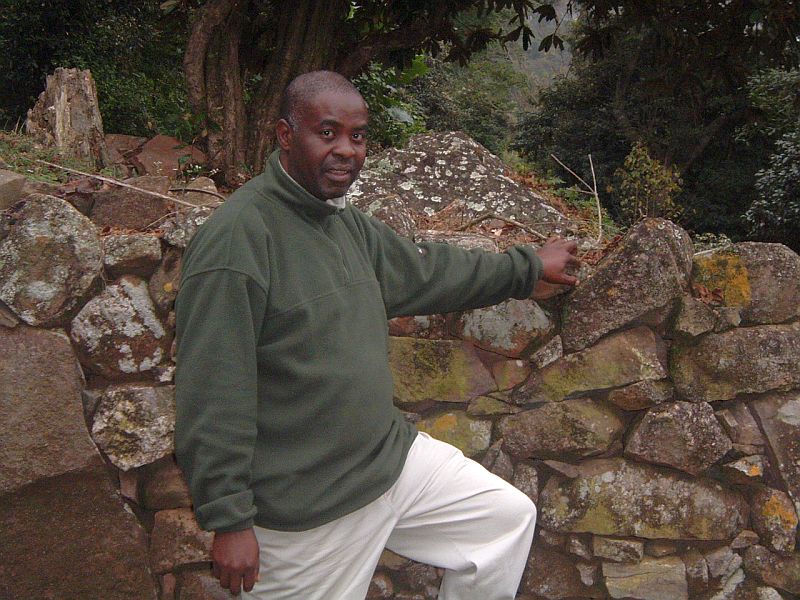
The D’zata Ruins are traces of the original settlement of the VhaVenda in the Nzhelele Valley. The settlement was built around 1700 AD and was the capital of the Venda empire. D’zata (‘a good place‘) was occupied for about 60 years. According to speculation, these rocks could have been carried on the heads of slaves, coming all the way from Central and North Africa. It was reconstructed by archaeologists, and even though some of the original walls are still standing, significant changes were made to the site.
The D’zata Museum has been erected near the ruins and provides more information on the history of the people who once lived there. It explains how this flourishing capital came to an end. The story goes that after the disappearance of Thohoyandou the inhabitants of D’zata were terrified. They attempted to install a successor, Tshisevhe, but his reign was short-lived and foiled by calamities. The diviner Nedambale was called in to bring life to the capital, but instead advised them to evacuate it. After a fierce storm hit the capital, people fled and left the place in ruins.