South Africa » Drakensberg Experience Route

Download GPS Coordinates (KML file) (what is this?)

Drakensberg Experience Route

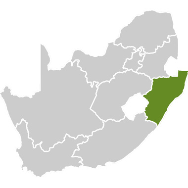
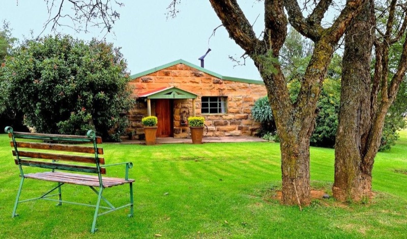
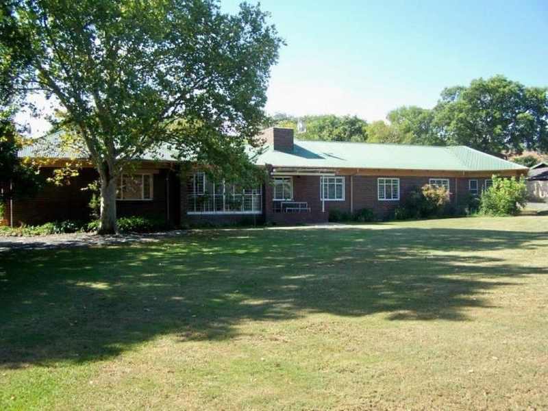
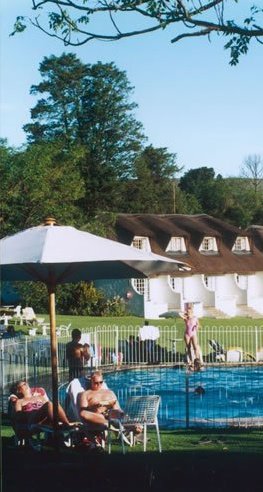
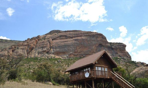
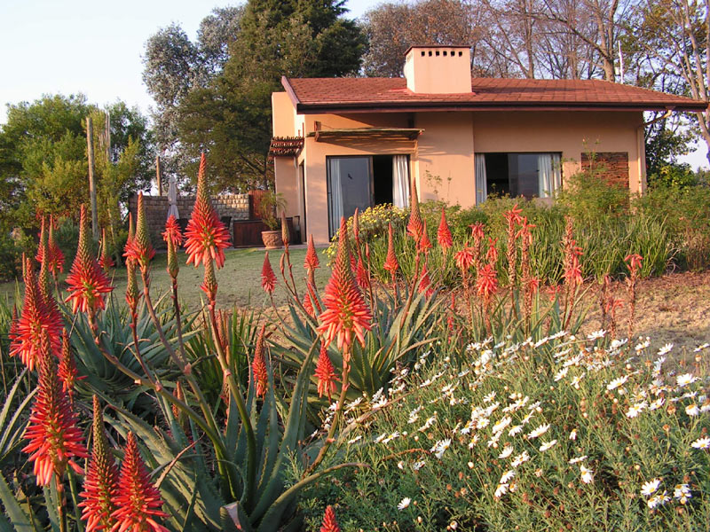
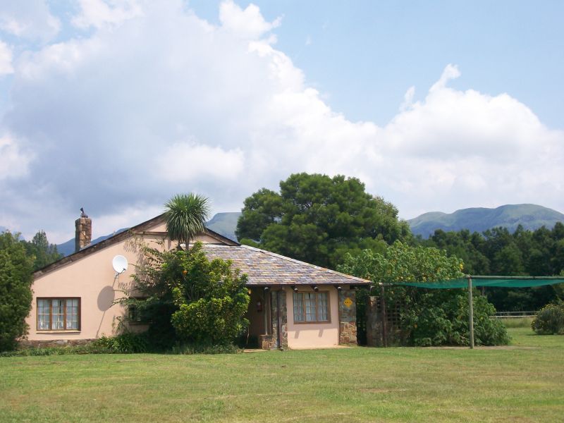
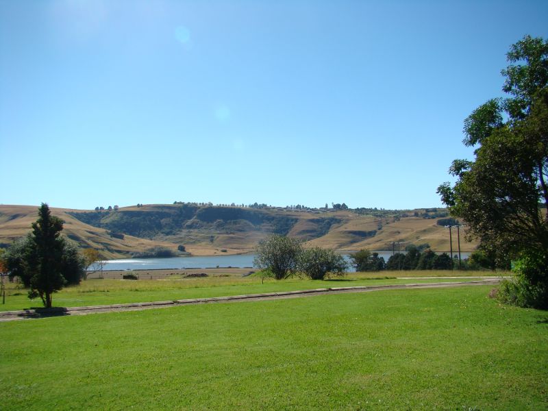
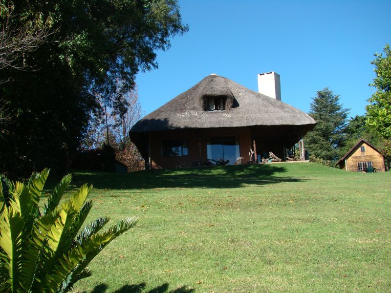
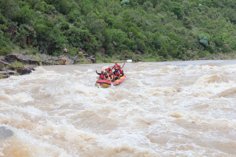
The Drakensberg Experience is located in the Midlands of the KwaZulu-Natal province of South Africa. The route is centred on the Drakensberg World Heritage Site, which includes Giant’s Castle and the Central and Northern Drakensberg.

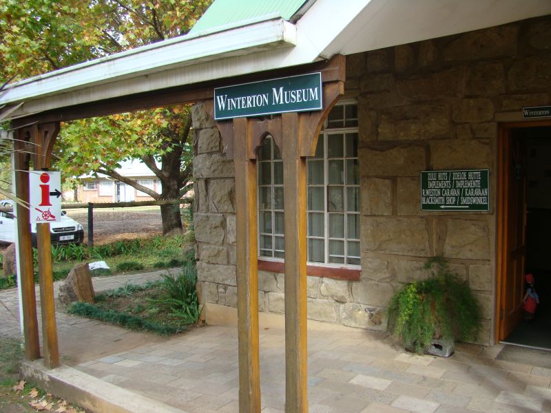
The route extends from Hidcote in the south to Sterkfontein Dam in the north, including towns such as Estcourt, Winterton, Bergville, Weenen and Geluksburg, and covering the area up to but not including the towns of Colenso and Ladysmith.

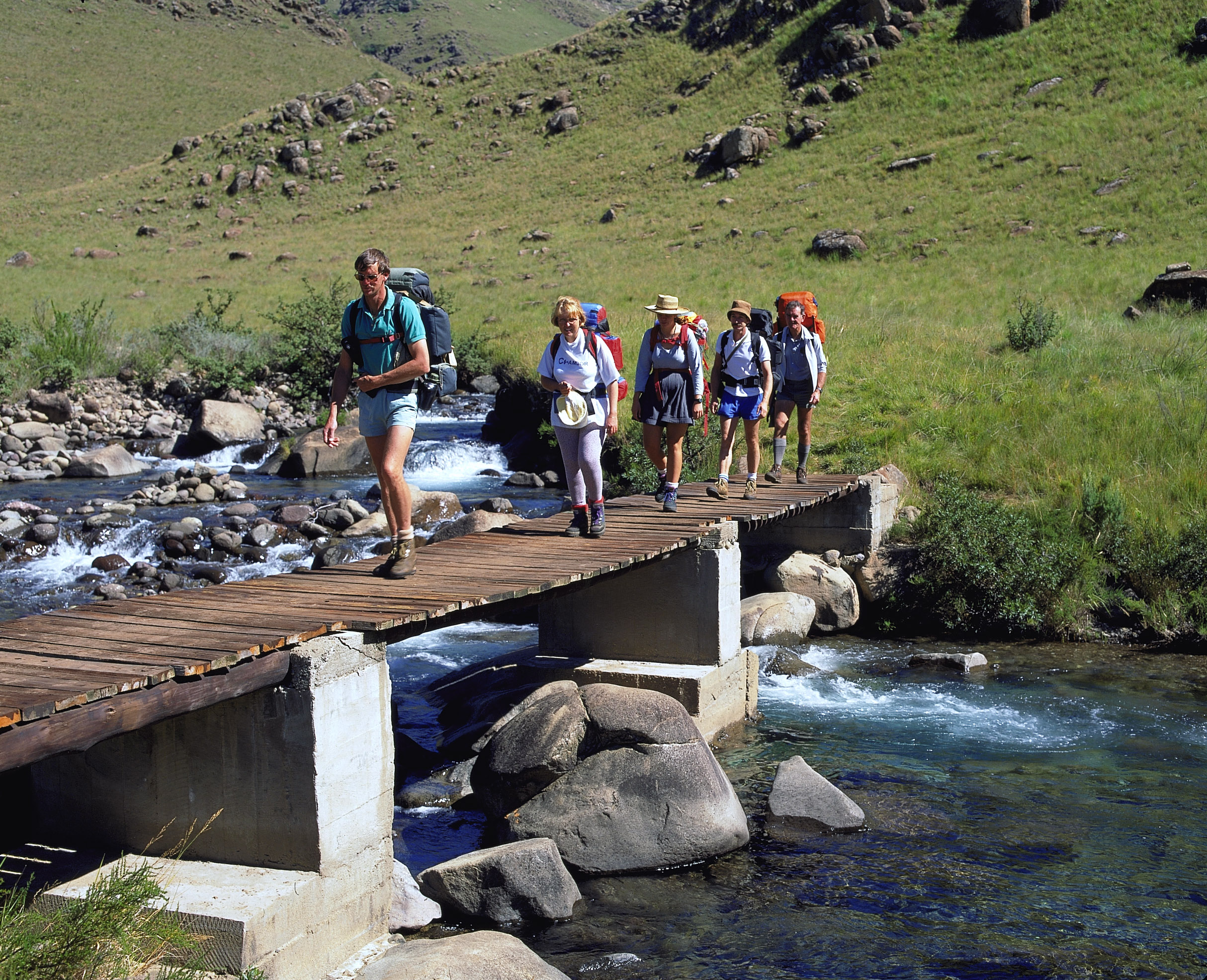
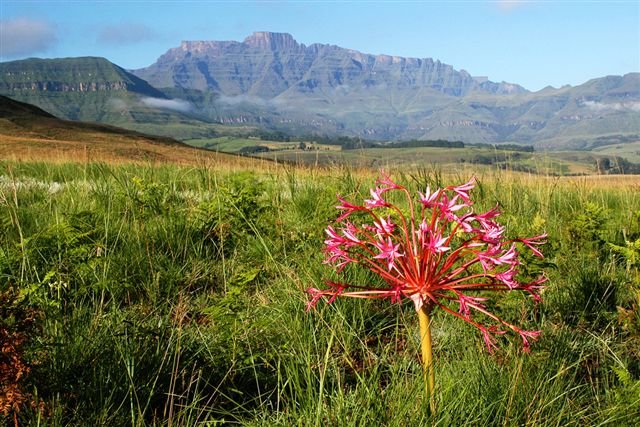
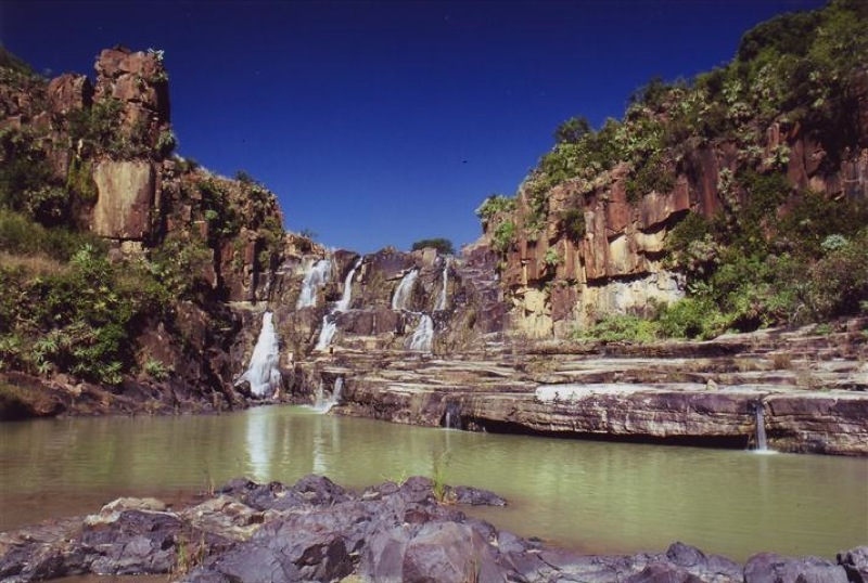
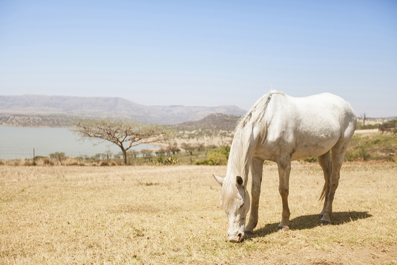
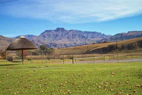
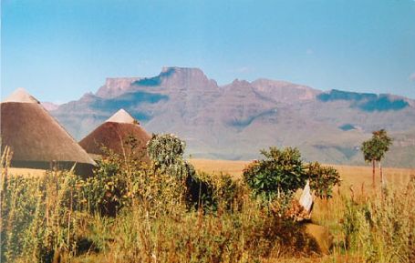
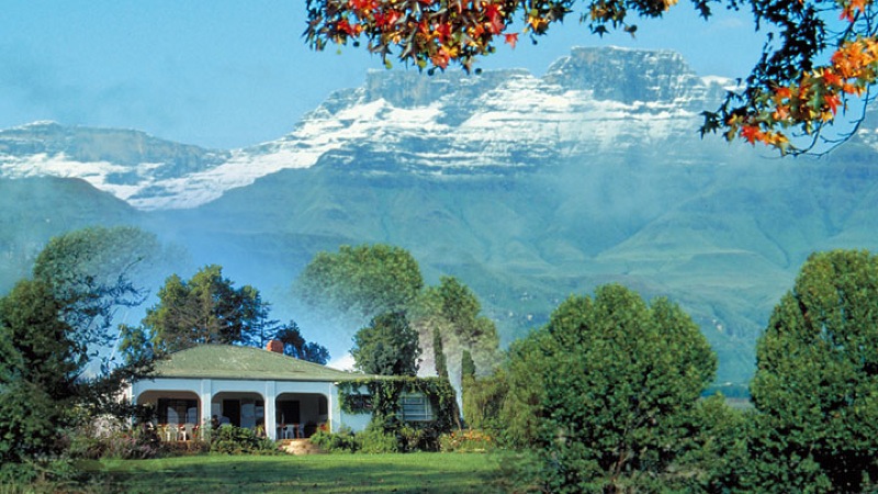
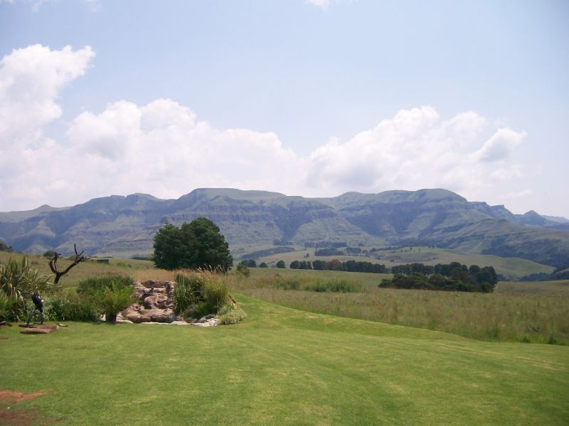
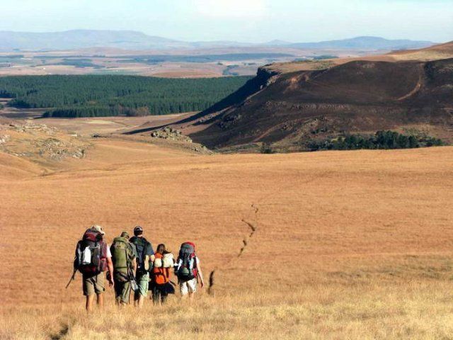
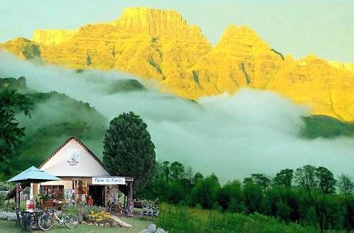
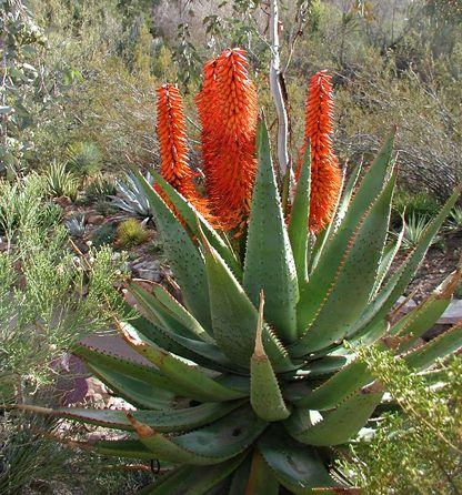
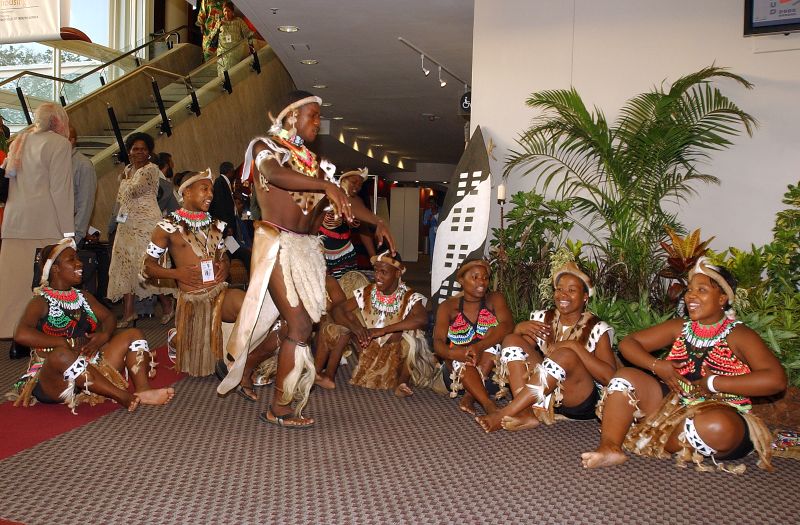
Known to the Zulu people as uKhahlamba ('barrier of spears'), the Drakensberg mountains ('dragon mountains') provide a magnificent semi-circular border between KwaZulu-Natal and the inland mountain kingdom of Lesotho. The watershed of the basalt peaks divides the rain and snow, some flowing westwards over the alpine plateau of Lesotho towards the Atlantic Ocean, and some down the vertical slopes into KwaZulu-Natal, towards the warm Indian Ocean.

This 200km-long mountain range has witnessed many historical events in South Africa’s history. The San people were probably the first to gaze upon its magnificence, but they tragically disappeared in the late 19th century, leaving only engraved rock walls and artefacts to remember them by. The same range was also the western boundary of the mighty Zulu kingdom, encountered by the Boer settlers around 1837 on their Great Trek north from the Cape Colony.

The name Drakensberg was coined only 40 years later, however, when a Boer father and son reported seeing a dragon flying high above the cloud-shrouded mountain peaks.

The San People:

The Bushmen, San, Sho, Basarwa, !Xun or Khwe are indigenous people of Southern Africa, who inhabited most areas of South Africa, Zimbabwe, Lesotho, Mozambique, Swaziland, Botswana, Namibia and Angola. They were traditionally hunter-gatherers. Genetic evidence suggests they are one of the oldest, if not the oldest, peoples in the world.

Conflicts over land and hunting of animals resulted in the culture of the mountain Bushmen being wiped out by the late 19th century. There are still Bushmen groups in the Kalahari and Namib deserts.

*Information courtesy of http://www.wikipedia.org

The Zulu Kingdom:

The Zulu were originally a major clan in what is today northern KwaZulu-Natal, founded in 1709 by Zulu kaNtombhela. In the Nguni group of languages, iZulu/iliZulu/liTulu means heaven, or sky. At that time, the area was occupied by many large Nguni communities and clans. Nguni communities had migrated down Africa’s east coast over thousands of years, as part of the Bantu migrations, probably arriving in what is now South Africa in about the 9th century AD.

The Zulu formed a powerful state in 1816 under the leader Shaka. On December 11, 1878, agents of the British delivered an ultimatum to 14 chiefs representing the Zulu ruler Cetshwayo. The terms required Cetshwayo to disband his army and accept British authority.

Cetshwayo refused, and war followed at the start of 1879. The Zulus handed the British their most severe defeat prior to World War One at the Battle of Isandlwana on January 22, 1879. The British managed to get the upper hand after the battle at Rorke’s Drift, and finally won the war with the Zulu defeat at the Battle of Ulundi on July 5.

After Cetshwayo’s capture a month after his defeat, the British divided the Zulu empire into 13 “kinglets”. The subkingdoms fought among each other until 1883 when Cetshwayo was reinstated as King of Zululand. This still did not stop the fighting and the Zulu monarch was forced to flee his realm by Zibhebhu, one of the 13 kinglets, supported by Boer mercenaries.

Cetshwayo died in February 1884, possibly poisoned, leaving his son, the 15-year-old Dinuzulu, to inherit the throne. In-fighting between the Zulus continued for years, until Zululand was absorbed fully into the Cape Colony.

Although KwaZulu-Natal is still the heartland of today’s Zulu population, large numbers have been attracted to the relative economic prosperity of Gauteng province. Zulu is the most widely spoken home language in KwaZulu-Natal.

*Information courtesy of http://www.wikipedia.org

The Great Trek:

The Great Trek was an eastward and north-eastward migration during the 1830's and 1840's of the Boers (the name being Dutch or Afrikaans for 'farmers'). They were descended from settlers from western mainland Europe, most notably from the Netherlands.

During the Great Trek the Voortrekkers engaged in conflict with the Zulu of Natal. The Zulu launched large-scale hostilities after a delegation under the Trek leader Piet Retief was massacred by their chief, Dingane ka Senzangakhona, on February 6, 1838.

There are various interpretations of what transpired, as only the missionary Francis Owen’s written eye-witness account survived. Retief’s written request for land contained veiled threats by referring to the Voortrekkers’ defeat of indigenous groups encountered along their journey.

The Voortrekker demand for a written contract guaranteeing private property ownership was incompatible with the Zulu oral culture, in which a chief could only temporarily allocate land that was communally owned.

Most versions agree that the following happened. Dingane’s authority extended over some of the land in which the Boers wanted to settle. As a prerequisite to granting the Voortrekkers’ request, Dingane demanded that the Voortrekkers return some cattle stolen by Sekonyela, a rival chief. Dingane then invited Retief to his residence at uMgungundlovu to finalise the treaty. He either planned the massacre in advance, or decided on it after Retief and his men arrived. Perhaps an earlier display of arms from horseback by Retief’s men provoked the massacre. In any case, Dingane’s reputed instruction to his warriors, “Bulalani abathakathi!” (Zulu for 'kill the wizards') showed that he may have considered the Boers to wield evil supernatural powers.

After murdering Retief’s delegation, the Zulu impis (“battalions”) immediately attacked Boer encampments in the Drakensberg foothills at what was later called Blaauwkrans and Weenen. In contrast to earlier conflicts with the Xhosa on the eastern Cape frontier, the Zulu killed women and children along with men in these attacks, wiping out half of the Natal contingent of Voortrekkers.

On April 6, 1838 the Voortrekkers retaliated with a 347-strong punitive raid (later known as the Flight Commando), supported by new arrivals from the Orange Free State. They were roundly defeated by about 7 000 Zulu warriors at Ithaleni, south-west of uMgungundlovu. The reluctance of Afrikaner leaders to submit to one another’s leadership, which later also hindered sustained success in the Anglo Boer wars, was largely to blame.

On December 16, 1838 a 470-strong force, led by Andries Pretorius, confronted about 12 000 Zulus at prepared positions. The Boers reputedly suffered only three injuries without any fatalities, while the blood of 3 000 slain Zulus turned the river red and the conflict later became known as the Battle of Blood River. The Boers’ guns offered them an obvious technological advantage over the Zulus’ traditional weaponry of short stabbing spears, fighting sticks and cattle-hide shields.

The Boers attributed their victory to a vow they made to God before the battle: if victorious, they and future generations would commemorate the day as a Sabbath. Thus, December 16 was celebrated by Boers as a public holiday that was first called Dingane’s Day and later changed to the Day of the Vow. It is still a public holiday, but the name was changed to the Day of Reconciliation by the post-apartheid ANC government, in order to foster reconciliation between all South Africans.

After the defeat of the Zulu forces and the recovery of the treaty between Dingane and Retief from the latter’s skeleton, the Voortrekkers proclaimed the Natalia Republic. This Boer state was annexed by British forces in 1843.

With the return of British rule, emphasis moved from occupying lands in Natal, east of the Drakensberg mountains, to the west of them and onto the highveld of the Transvaal and Orange Free State, which were more thinly populated after the devastation of the Mfecane.

*Information courtesy of http://www.wikipedia.org

World Heritage Site:

The proclamation in late 2000 of uKhahlamba-Drakensberg Park as a World Heritage Site brought long-overdue recognition of its universal value to mankind.

Meeting the criteria for both natural and cultural listings, the site can now officially boast biological diversity, the conservation of endemic and threatened species and masterpieces of human creative genius in the form of 35 000 San rock art images. Rolling, high-altitude grasslands, pristine steep-sided river valleys and rocky gorges also contribute to the beauty of this World Heritage Site.

The Tugela Falls:

The Berg, as it is popularly known, is also known for the Tugela Falls, located in the Royal Natal National Park (part of the uKhahlamba-Drakensberg Park) and easily seen after heavy rain from the main road into the park.

Tugela Falls is the world’s second-highest waterfall. The total drop in five free-leaping falls is 947m (3 110ft). The source of the Tugela River (the name deriving from the Zulu for 'sudden') is at Mont-aux-Sources, several kilometres from the escarpment from which the falls drop. The water is pure and safe to drink above the falls.

There are two stunning trails to the Tugela Falls. The most spectacular trail is to the top of Mount-aux-Sources. It starts at the Sentinel car park at Witsieshoek and goes via Phuthaditjhaba and a relatively short climb on two chain ladders to the top of the Amphitheatre. The trail takes about five hours return. This is the only day hiking trail that will take you to the top of the Drakensberg escarpment and to the head of the Tugela Falls.

Another trail to the foot of the Tugela Falls starts at Royal Natal National Park. The easy 7km hike up the Tugela Gorge winds though indigenous forests. The last part of the hike to the Tugela Falls is a boulder hop. A little chain ladder takes you over the final stretch, where you have a stunning view of the falls rushing down the Amphitheatre in a series of five spectacular cascades.

For further information about the hiking trails contact:

Royal Natal Enquiries and Reservations:
KZN Wildlife, Private Bag X 1669, Bergville 3350

Tel: +27 36 438 6310 / +27 36 438 6303

Fax: +27 36 438 6231

Other attractions in the area include the Drakensberg Boys’ Choir, the falconry at Falcon’s Ridge, hiking trails and San rock paintings, to name a few.

Drakensberg Boys’ Choir:

On January 23, 1967 John Tungay’s dream became a reality, and the Drakensberg Boys’ Choir School opened its doors for the first time to 20 pupils, all of whom had been carefully selected from numerous auditions held across the country.

Within a relatively short time, the enrolment increased substantially to a little over 100, with boys aged 9 to 15 allocated places in Grades 4-9, and this number has been sustained ever since.

In the 35 years of its existence, the school has faced enormous challenges in order to survive, not the least being the high cost of managing a specialised school with specialised staff in a somewhat isolated area in South Africa.

The entire Tungay family, Ron and Gwen and John, and subsequently Russell, were intimately involved in laying the foundations of the Drakensberg Boys’ Choir School in one way or another.

The Choir School draws its inspiration from the idyllic environment of the Champagne Valley in the Central Drakensberg. The Choir has toured the USA, Europe, Japan, Taiwan, Hong Kong, Mauritius and many African countries.

The facilities at the school have been based on a 'farm school' structure. The move in 1995 from an 80-seat hall to a  600-seat auditorium with modern sound and lighting equipment allowed the choir to surge ahead. Today, the auditorium is filled to near capacity for the weekly Wednesday concerts and music festivals throughout the year.

In partnership with corporate supporters, a strategic plan to upgrade facilities is currently in place.

Game Reserves:

In addition to the Royal Natal National Park, the area has a number of game reserves.

The Weenen Game Reserve has a growing reputation as a small but superbly appointed wildlife destination for both day and overnight visitors.

Both black and white rhino have been introduced since the 5 000ha reserve was proclaimed in 1974. Other re-introduced game includes giraffe, buffalo, red hartebeest, eland, zebra, klipspringer, ostrich, common reedbuck and roan antelope. The reserve has more than 251 bird species, making it popular with birders.

Steeped in Anglo-Boer War history, the Spionkop Nature Reserve boasts a rich selection of wildlife including white rhinoceros, giraffe and a variety of plains and bushveld antelope. The Spionkop Dam also offers opportunities for a variety of watersports.

The Wagendrift Nature Reserve located just outside Estcourt takes its name from a drift through the Bushman’s River that was used by transport wagons on their way from Port Natal to the goldfields of the Witwatersrand. The reserve is a 980ha protected area which incorporates Moor Park Reserve and surrounds the Wagendrift Dam.

The New Formosa Reserve is also close to Estcourt and is known for bird watching. New Formosa also has a number of short hiking trails.

Giant’s Castle Game Reserve was named to signify the peaks of the Drakensberg mountains, whose silhouette resembles that of a sleeping giant. Giant’s Castle is surrounded by deep valleys, grassy plateaus and craggy mountains, offering panoramic views for hikers and mountain climbers.

Visitors can enjoy the fascinating  rock art created by the San people who once inhabited this spectacular area. Another highlight is the reserve’s renowned Vulture Restaurant, where guests can enjoy delicious cuisine while viewing bearded vultures and other endangered species feeding.

Battle sites:

The KwaZulu-Natal Midlands are also known for the many battles that have taken place here and offer many opportunities to re-discover the sites of British, Zulu and Boer clashes. Some of the sites that can be visited in the area include:

  • Willow Grange;
  • Fort Durnford;
  • Glenbella;
  • Zaailager;
  • Spionkop;
  • Bloukranz;
  • Winston Churchill’s capture at Frere;
  • Vegtlager; and
  • Rensburg’s Koppie.


Nearby routes

Amajuba Route

In the north-western corner of KwaZulu-Natal, this route has an ABC of core attractions: adventures, art, animals and ambles; berg, battlefields and birds; culture, crafts and charm.

Elephant Coast Route

A large route stretching from St Lucia in the south to Kosi Bay in the north and inland to the N2 national highway, this route has a wealth of attractions, accommodation options and activities. It contains outstanding wildlife reserves covering a diversity of habitats.

N3 Gateway

The N3 Gateway, at present, spans from the Valley of a Thousand Hills in the south to Heidelberg in the north. It traverses four provinces namely KwaZulu-Natal, Free State, Mpumalanga and Gauteng. Caledonspoort, Puthadijaba and Sani Pass are included, making it a cross border project into Lesotho.

Nguni Route

The Nguni Route incorporates an area of scenic landscapes combined with historical and cultural attractions. These are some of the poorest rural communities in KwaZulu-Natal, and tourism has been identified as a major job creator here.

uMngeni Footprint Route

A route of diverse attractions at the gateway to the KwaZulu-Natal Midlands including the towns of Mpophomeni and Howick.

Zululand Sea Kayaking Route

We have selected a number of sea kayaking routes which showcase those parts of our coastline most suited for paddling and exemplify the wide variety of experiences available to sea kayakers in this country.

Comments and Reviews

Berg travel (Drakensberg) Poor customer relations

uktraveller on 1st o July, 2010 at 17:11.

hi looking for tours from mooi river to drakensberg and surrounds. thanks nazeer

nazeer on 10th o February, 2009 at 22:34.

Add a comment