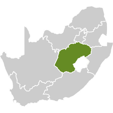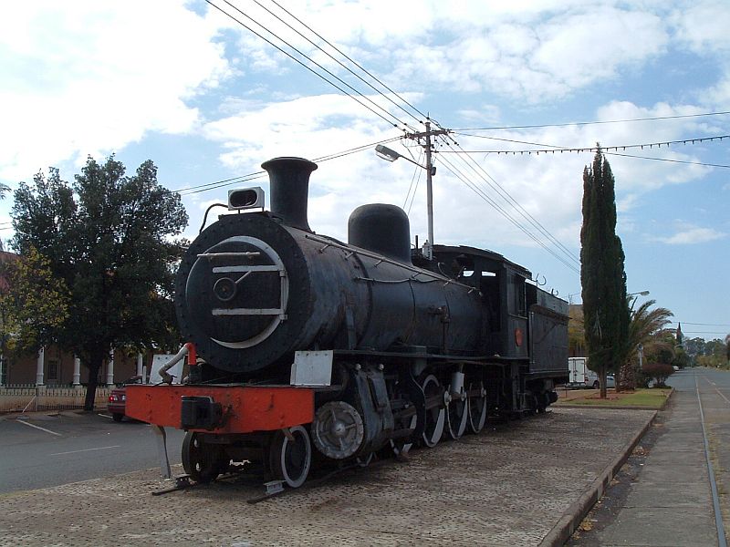
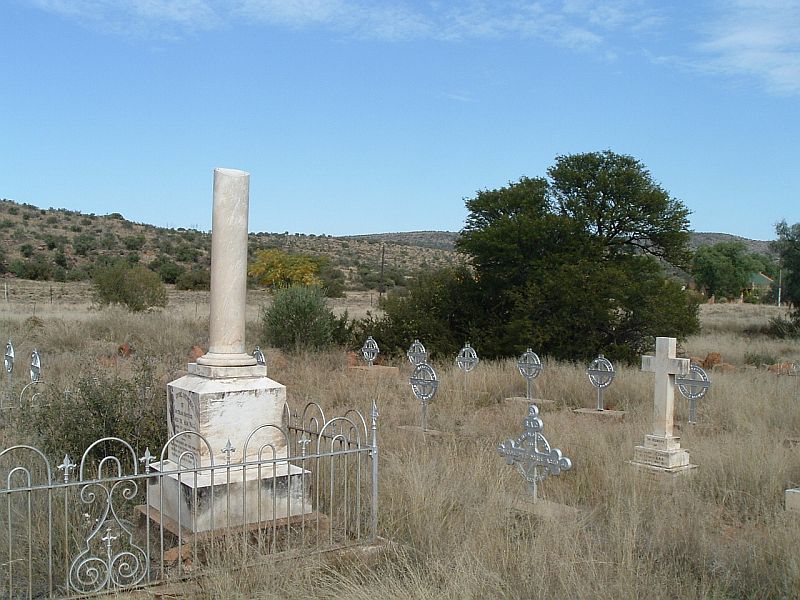
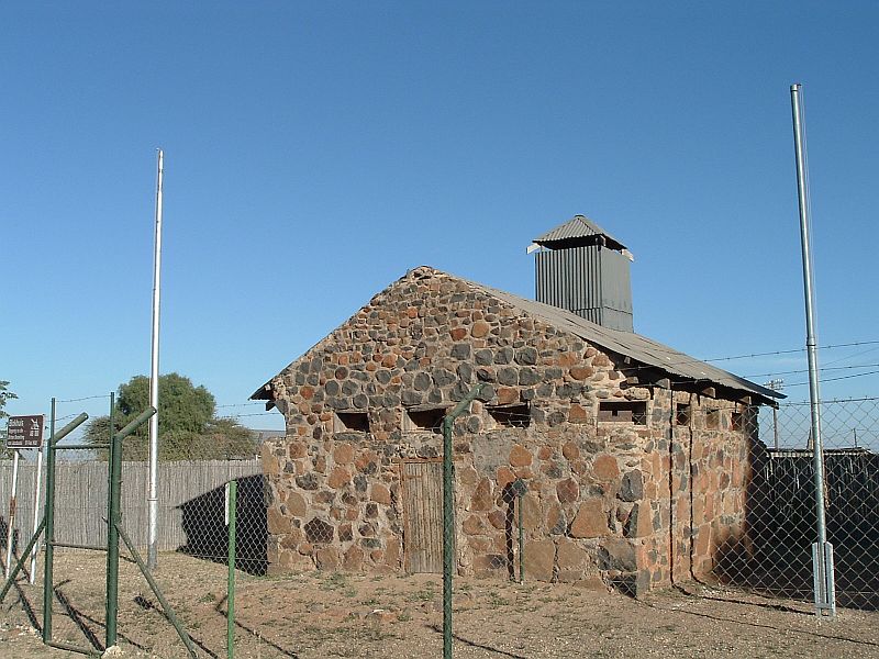

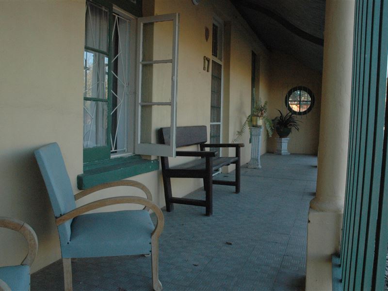
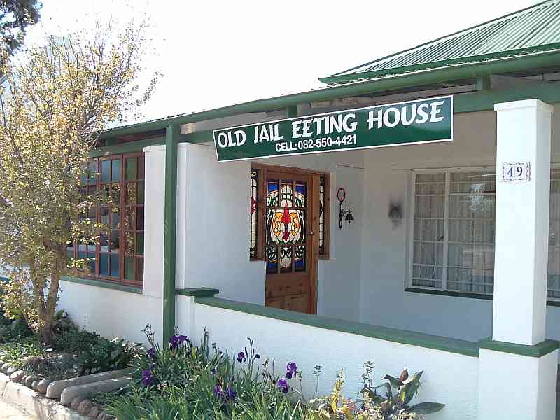
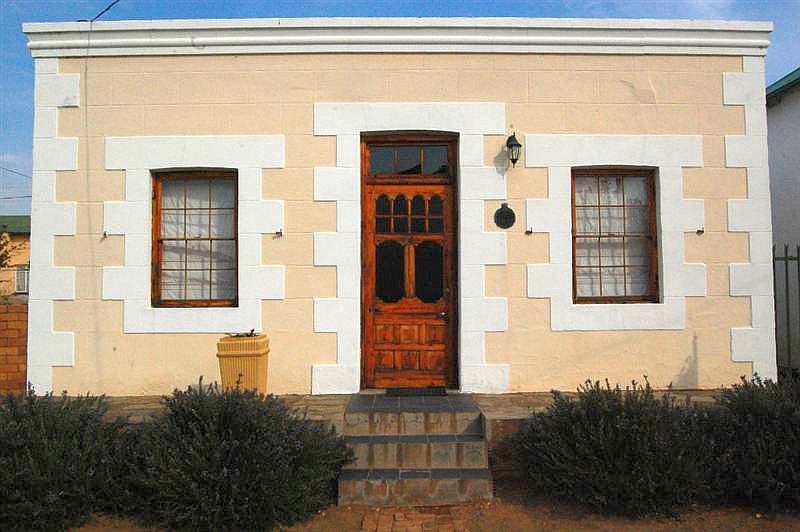


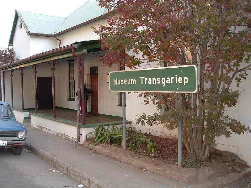
In the south-western Free State, where the Horizon Route is located, the open space is complemented by many little places. Many of the little villages originated for a specific reason that is often long-forgotten today. These villages have survived urbanisation and in some cases have even grown. Each village on the route has its own unique character and charm.
The Horizon Route allows travellers to explore these little places to learn about their history and meet the local people. Rather than rushing to get to your destination why not divert your route and take the road less-travelled, slow down, relax and see interesting sights along the way.
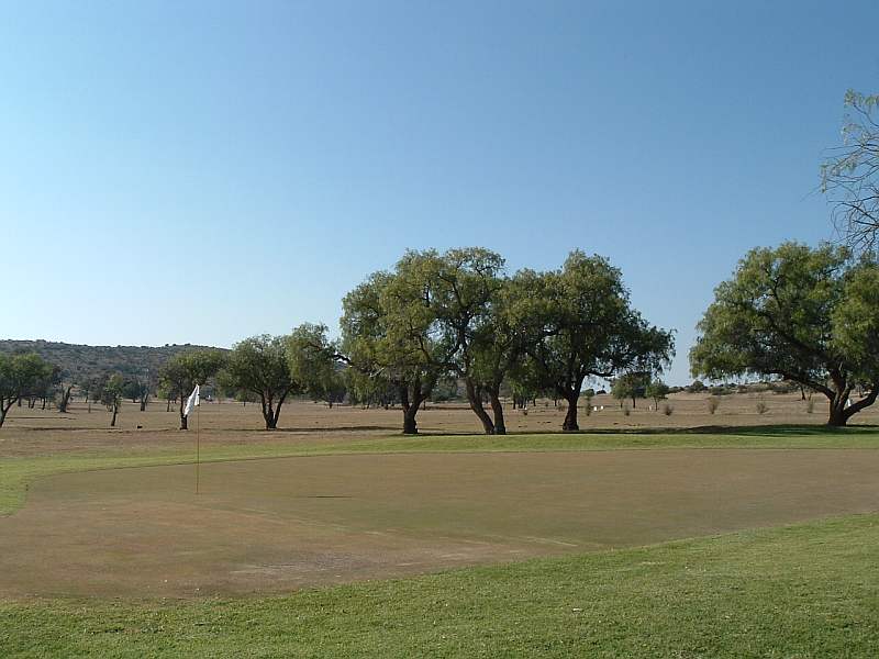
In the surrounding rural landscape, golden fields of grasses and grains are dotted with cattle and sheep. Koppies interrupt the horizon at intervals. Tributaries of the Orange or Gariep River snake their way through the dry land. Here there is space, and plenty of it. The space is roofed by blue skies which are only rarely blackened by rain clouds.
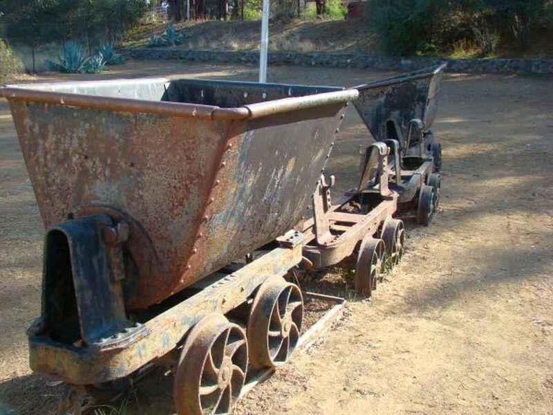
Experience the clear skies, fresh air, open roads and space of the Free State. See diamond mining, agriculture and crafters; taste local cuisine and enjoy legendary hospitality. The area gives visitors ample opportunity to walk on the open plains, hunt, fish, or ride mountain bikes.