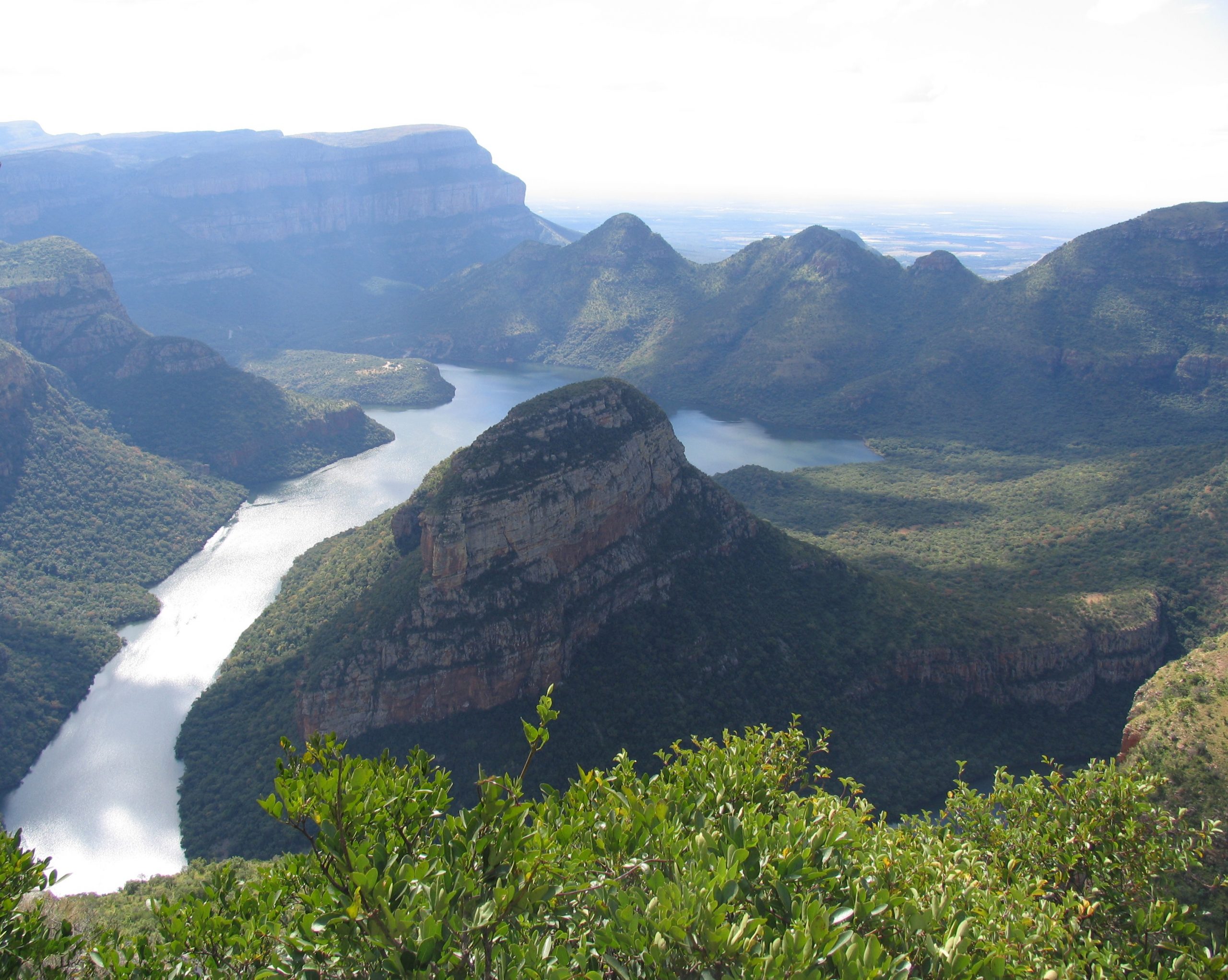

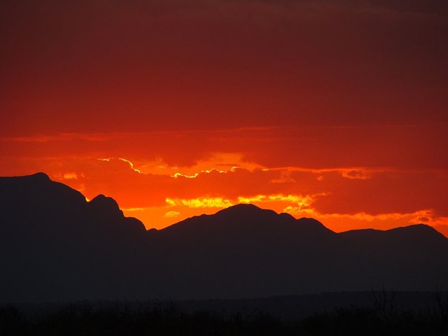
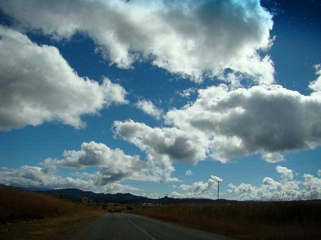
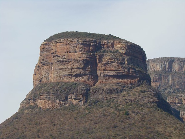
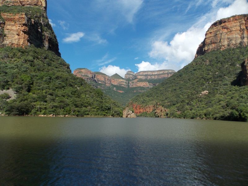


The route stretches from the Kruger National Park past the Olifants River and its canyon to the magnificence of the Blyde River Canyon, the world’s third-deepest canyon. The Kruger to Canyons Route showcases Africa’s diversity in landscape. Here pioneers have left their footprints in the form of names, stories and towns. The position of the area brought about many defining activities in and around settlements, such as trade-centres and the rush for gold, bringing together different groups of people.
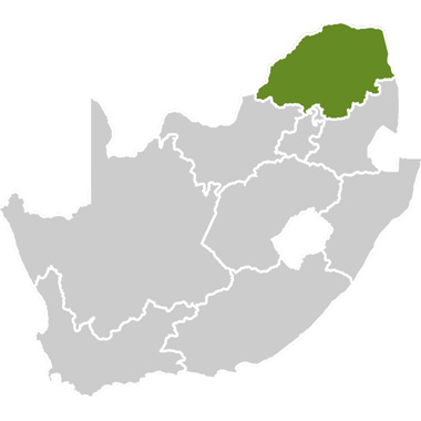
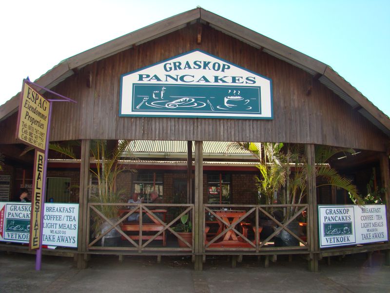
The Kruger to Canyons Route is situated in the Limpopo province but also extends into Mpumalanga. The route meanders from Phalaborwa, through Hoedspruit before connecting with Graskop. Between the main attractions many natural and cultural treasures can be found, as well as a range of activities.
Due to the size of the route, it is divided into smaller regions. The regions consist of Phalaborwa at the northern point, Hoedspruit and surrounds and Graskop. The route is situated in a malaria area.
Reasons to visit:
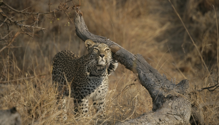
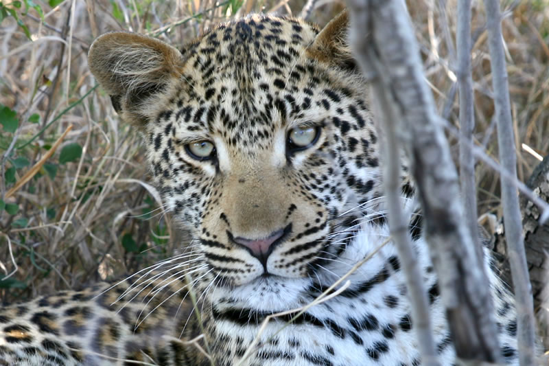
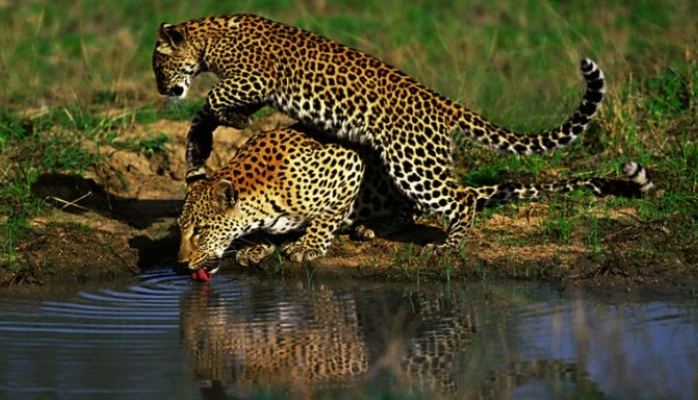
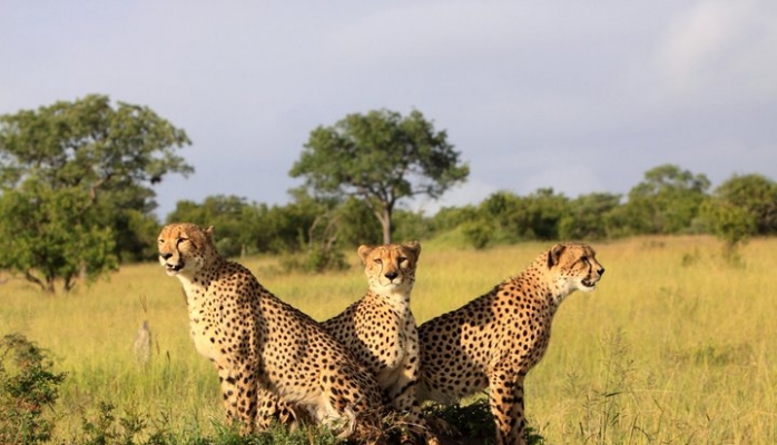
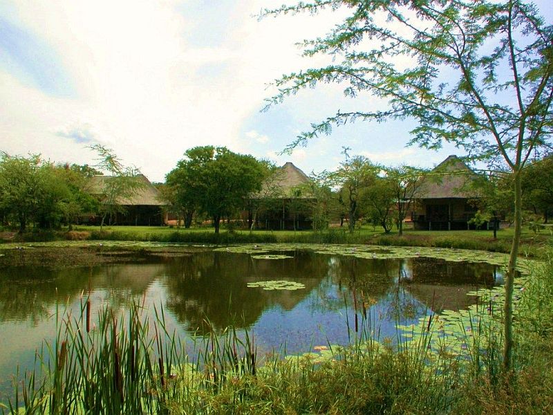
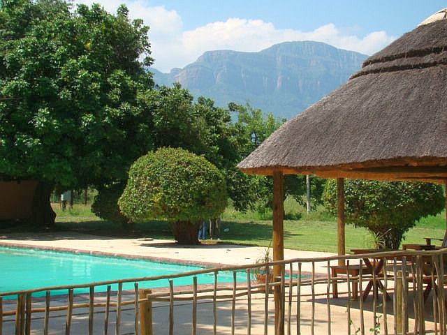
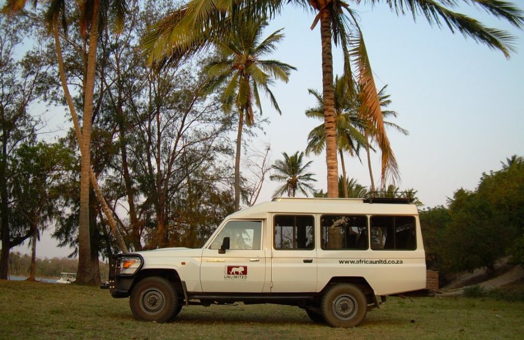
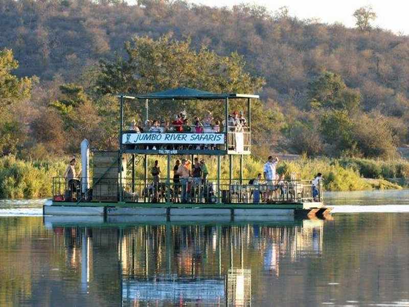
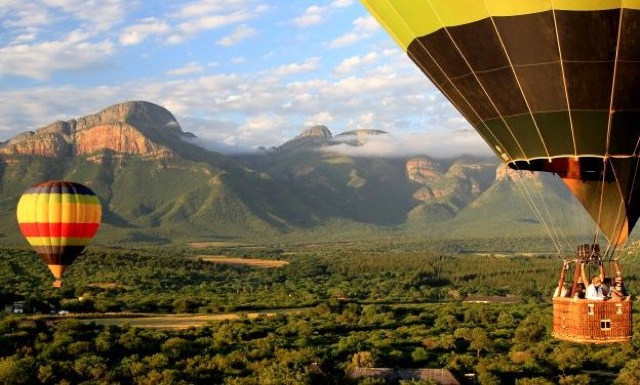
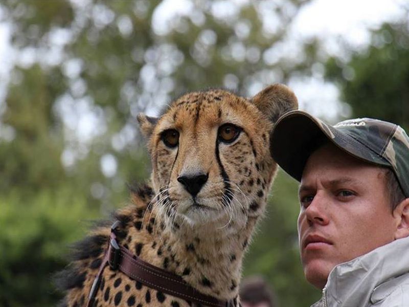
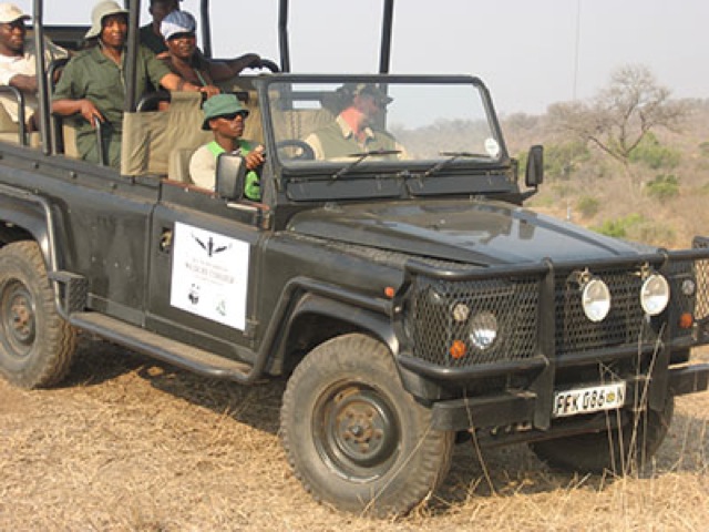
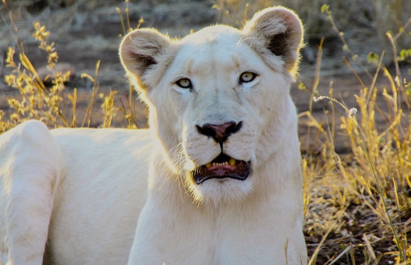
The Kruger to Canyons Route’s richness in diversity of landscape extends to its diversity in activities. The Kruger National Park offers some of South Africa’s best game viewing, but the area also offers excellent private reserves and game lodges. In addition, the area offers a number of outdoor trails and varied adventure activities like rock climbing, white water rafting and hot-air-ballooning. The area also boasts a rich birdlife.
Apart from the natural attractions and landscapes, interesting attractions include the Khamai Reptile Park and the Bombyx Mori Silk Farm, which is one of only two commercial silkworm farms in South Africa.
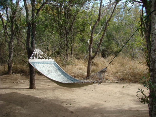
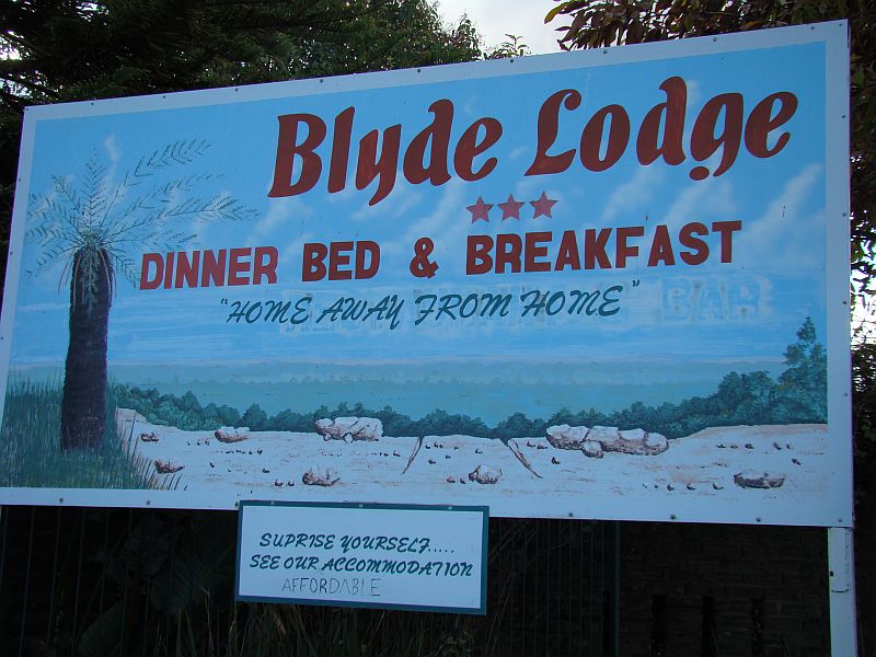
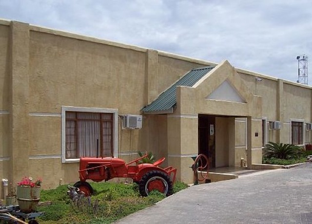
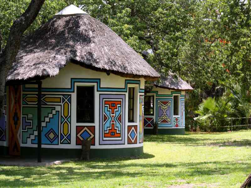
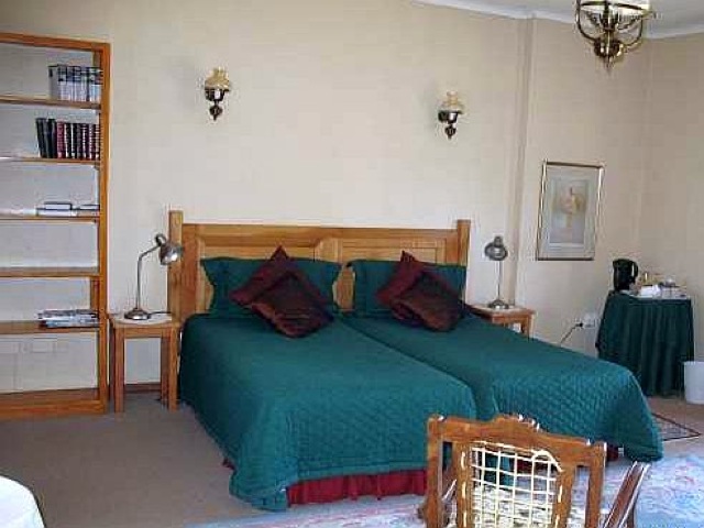
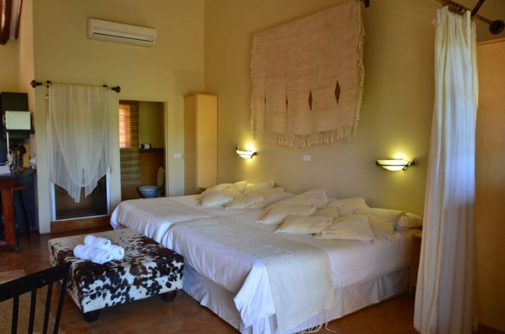
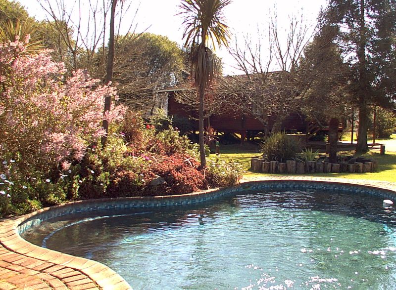
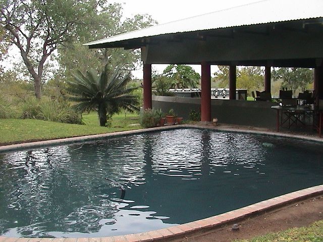
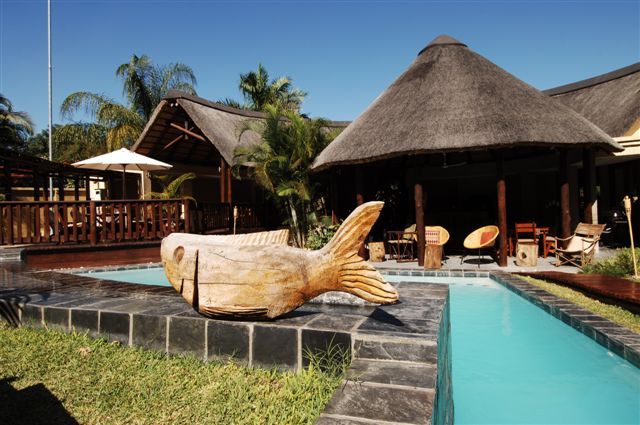
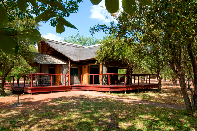
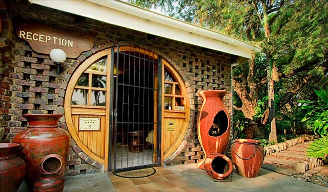
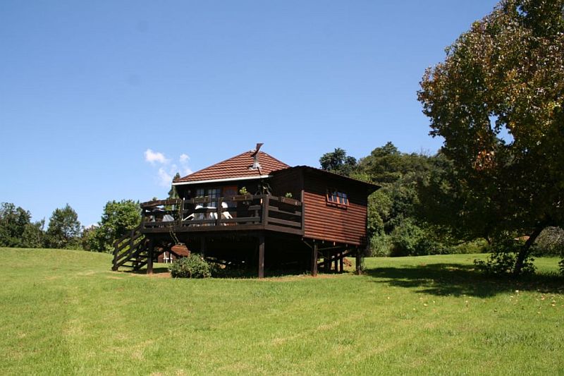
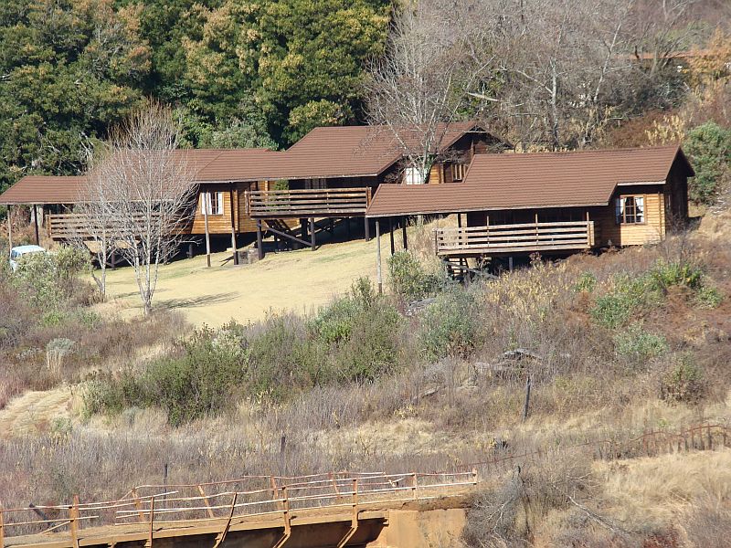
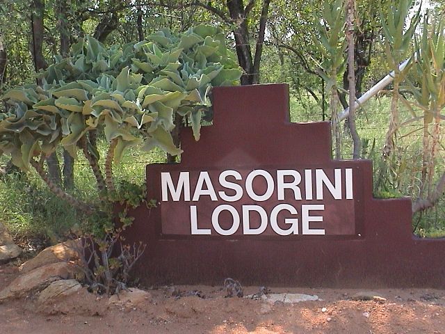
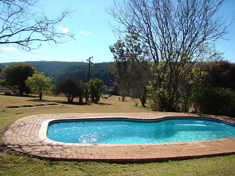
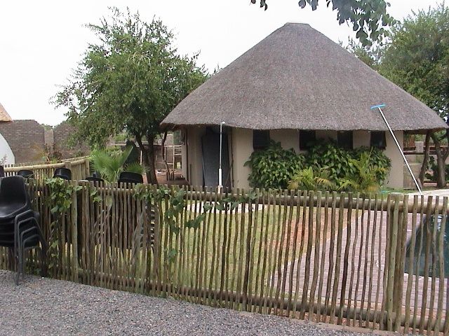
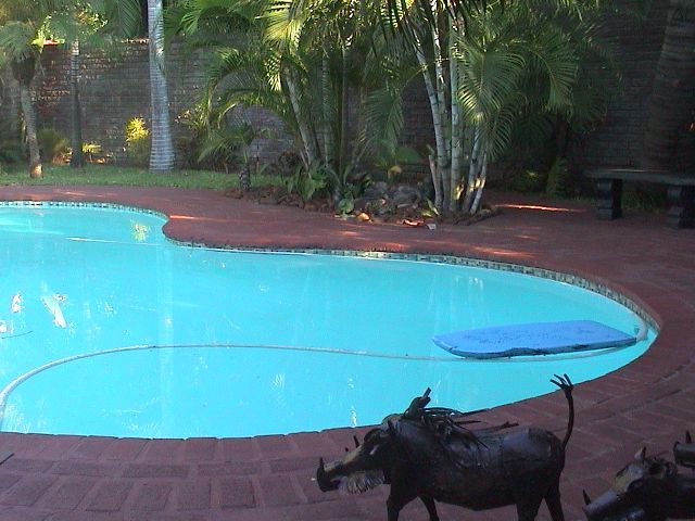
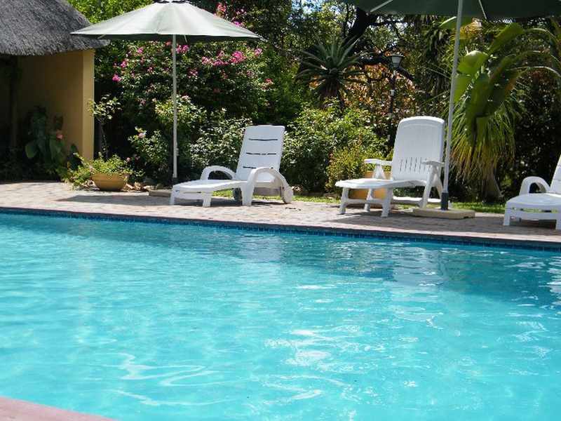
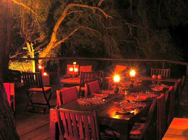
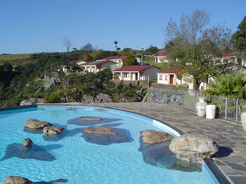
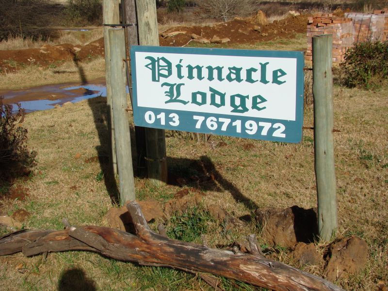
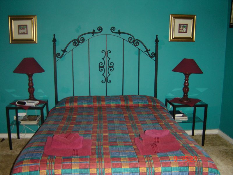
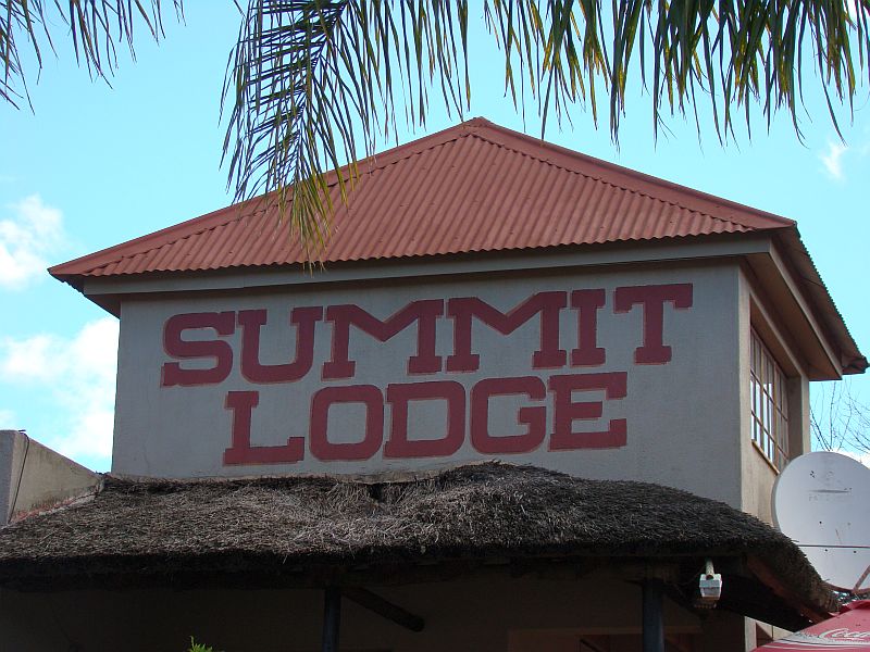
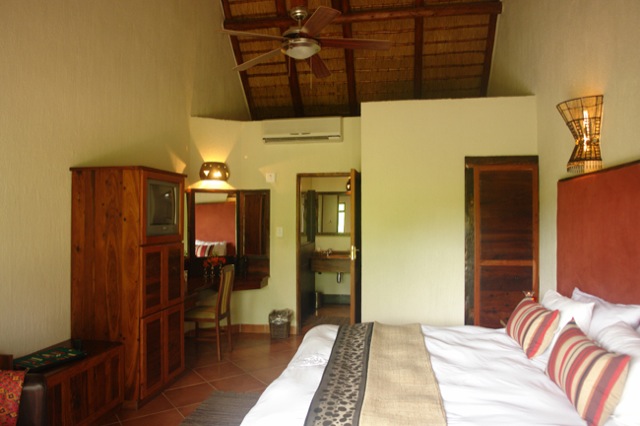
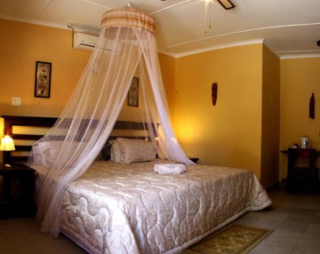
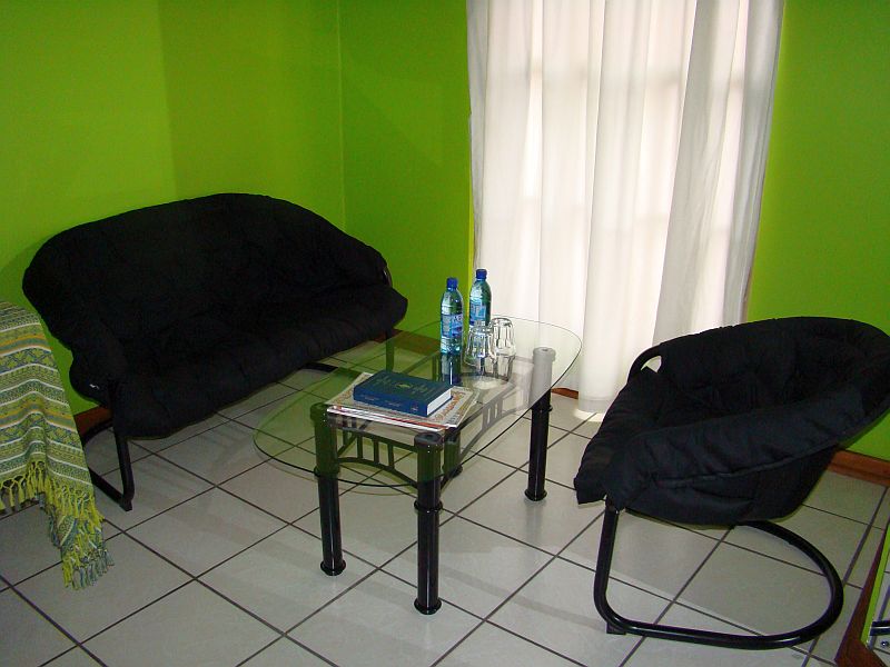
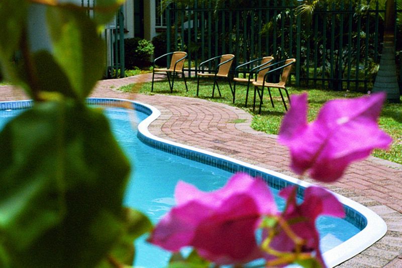
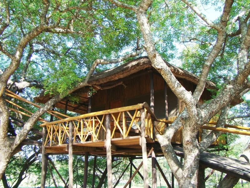
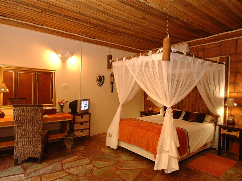
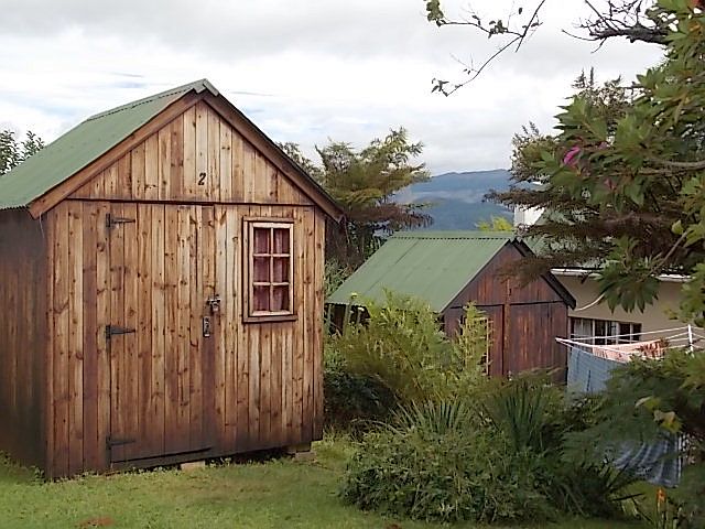
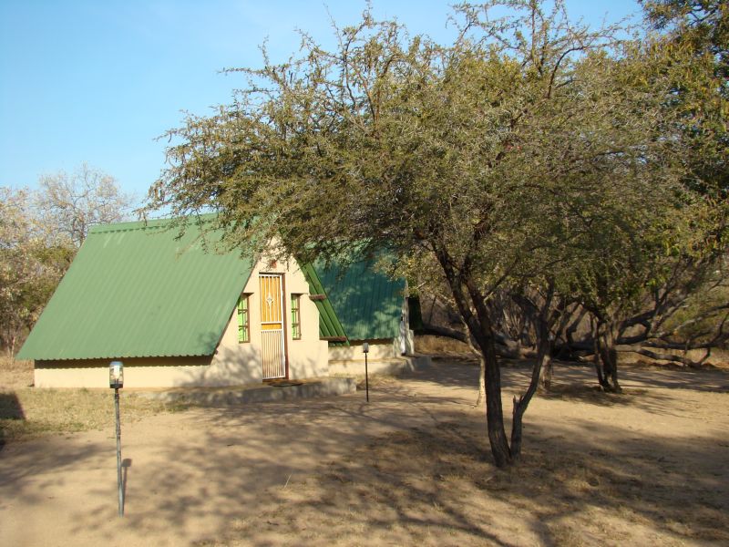
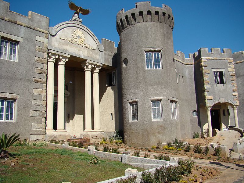
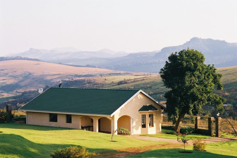
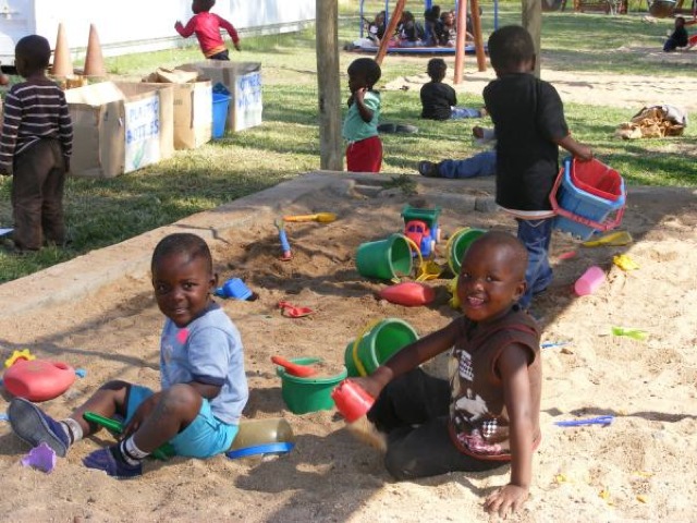
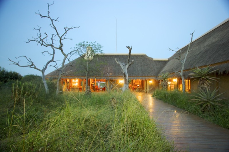
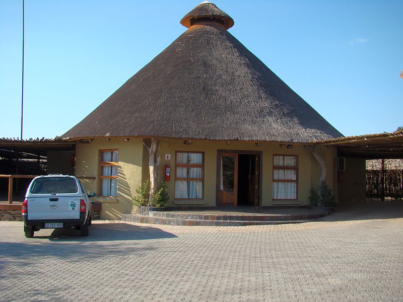
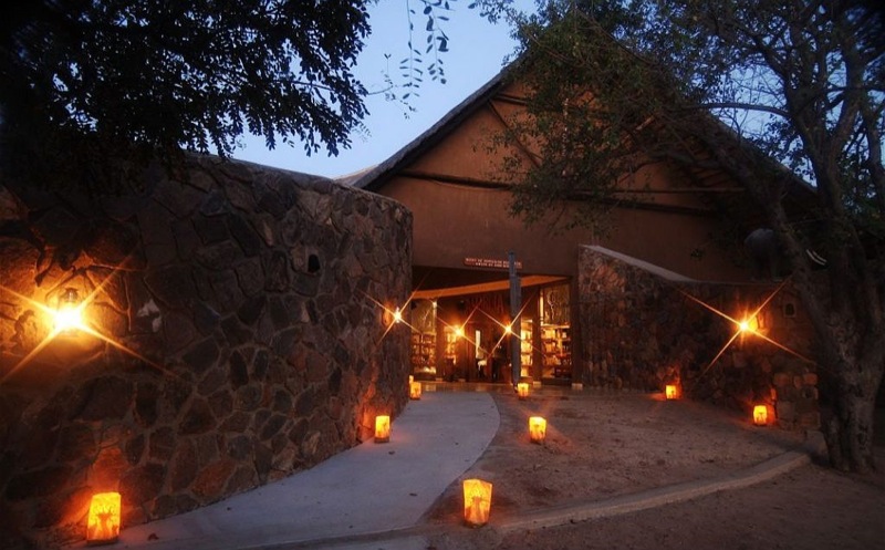
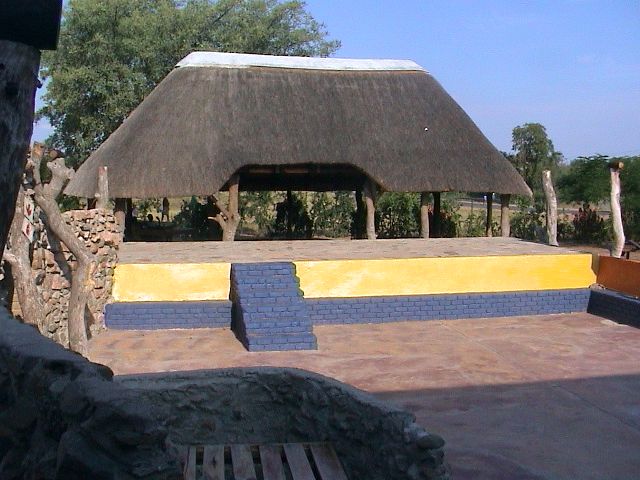
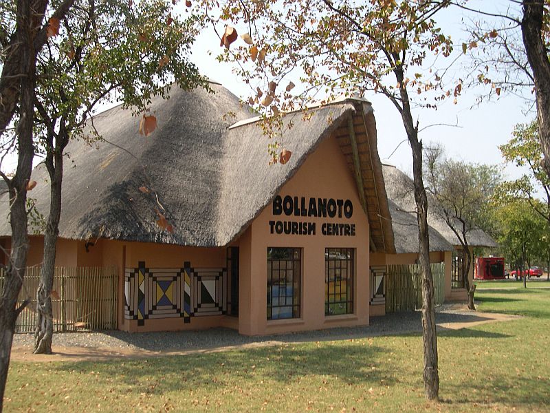
Accommodation ranges from luxurious lodges and safari camps to beautiful B&B’s and even backpackers, catering for every pocket.