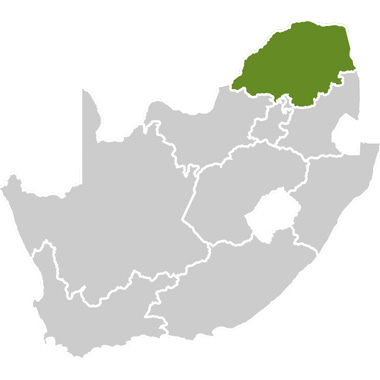


The Hlanganani Route is situated in Limpopo on the north-west border of the Kruger National Park. Hlanganani is a Shangaan/Tsonga word meaning ‘get together‘. The route stretches from the Punda Maria gate towards Louis Trichardt and then joins the R81 road towards Giyani. The route winds its way through many small villages in the Malamulele district and is five hours’ drive from Gauteng and two hours’ drive from the city of Polokwane. The route is located in a malaria area.
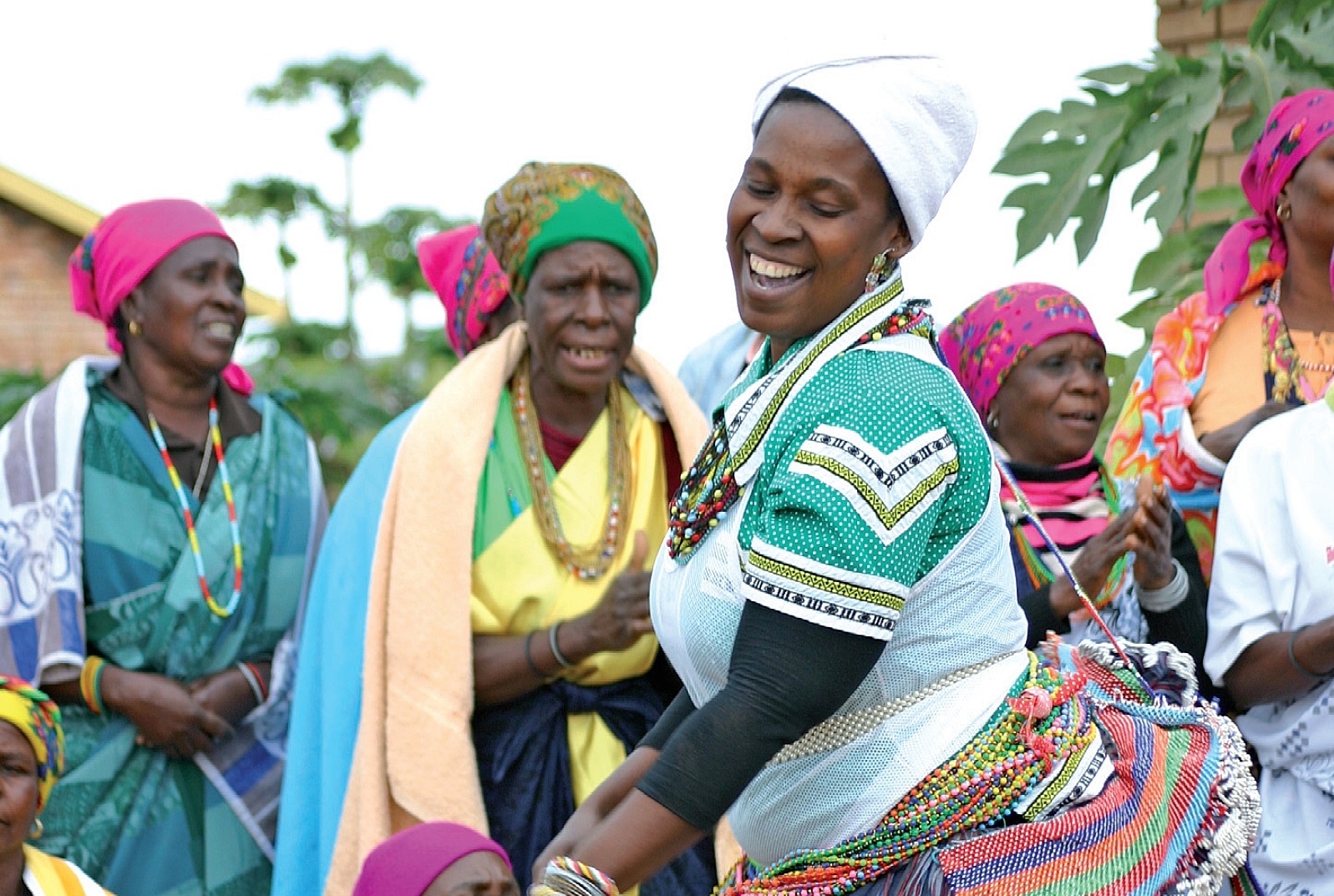
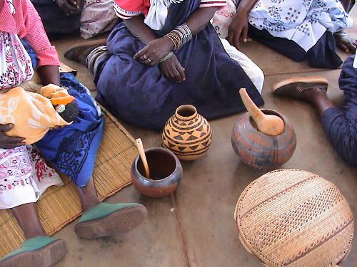
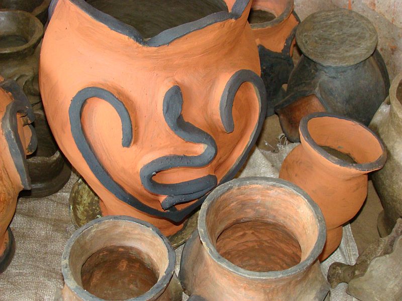
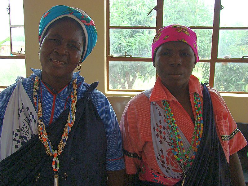
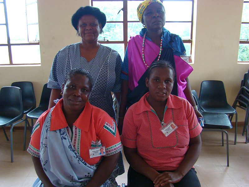
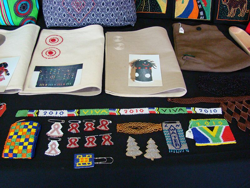
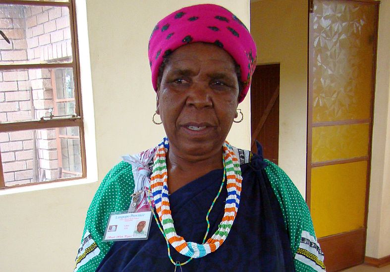
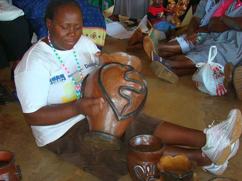
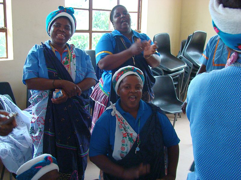
The route is ideal for visitors to the Kruger National Park who wish to gain a better understanding and insight into rural life in Limpopo. Local people are eager to see greater benefits from the park and will welcome visitors into their villages and show them traditional practices, dances or sell their local craft.
The villages adjacent to the Kruger National Park are predominantly inhabited by Tsonga-speaking people. Villages are often named after the tribe that resides there, for example Mtititi, Mahonisi, Dinga, Mhinga, Mphambo, Xigalo and many more. Many of the communities suffered great spiritual loss when they were forcibly removed from their ancestral burial grounds and sacred sites when these were incorporated into the Kruger National Park in 1938. Others like the Makuleke people were evicted from the Pafuri Triangle as recently as 1968. Fortunately, the Kruger National Park’s Social Ecology Unit has, in some instances, succeeded in securing access for these people to visit these sites.