Footprints of the San
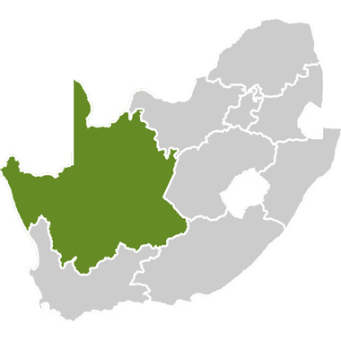
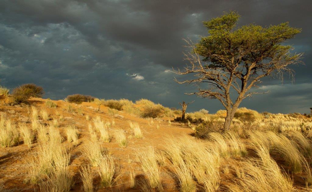
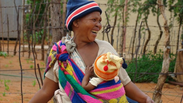
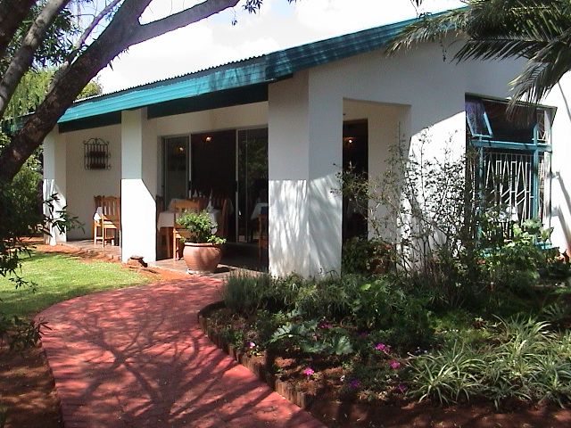
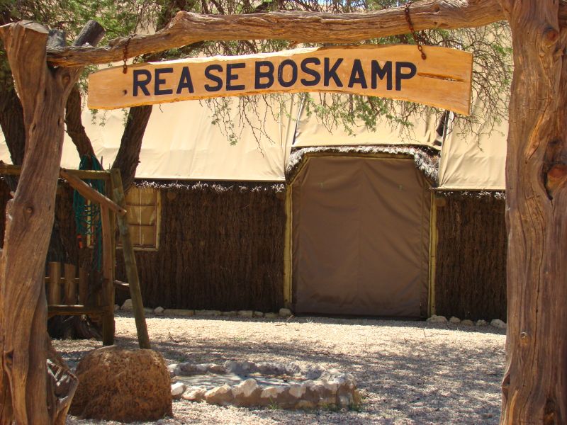
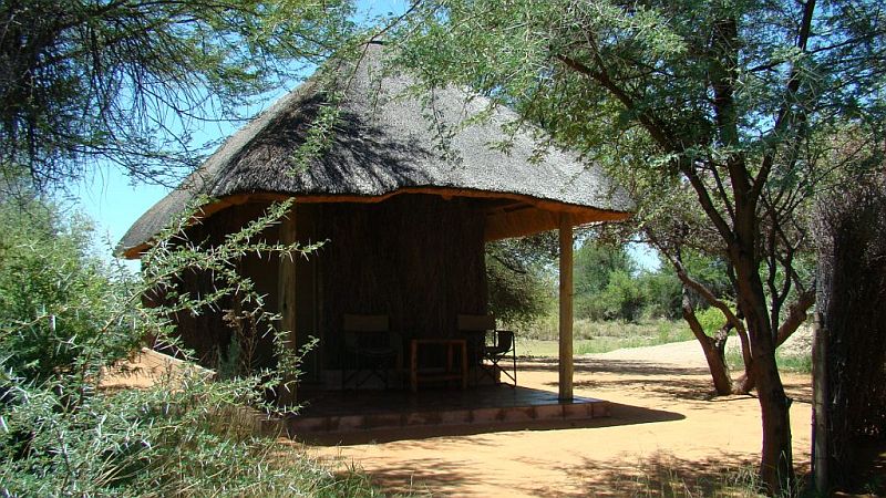
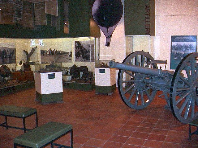
The Footprints of the San Route links the San communities of Kimberley to the San communities of Andriesvale (close to Askham), including private and public attractions and potential points of interest along the way. Though the two focus areas in this route are Kimberley’s Platfontein, where the !Xun and Khwe San tribes live (resettled from the old tent camp at Schmidtsdrift), and the Kalahari (Andriesvale/Askham area), where the Khomani San won a 40 000ha land claim, this route stretches over a distance of roughly 600km and captures breathtaking contrasts – from the red sand dunes of the Kalahari desert in the north to the green banks of the Orange River at Upington, following the river to Griquatown, where it eventually diverges to the historic diamond town of Kimberley.
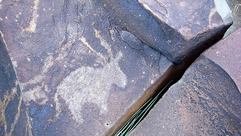
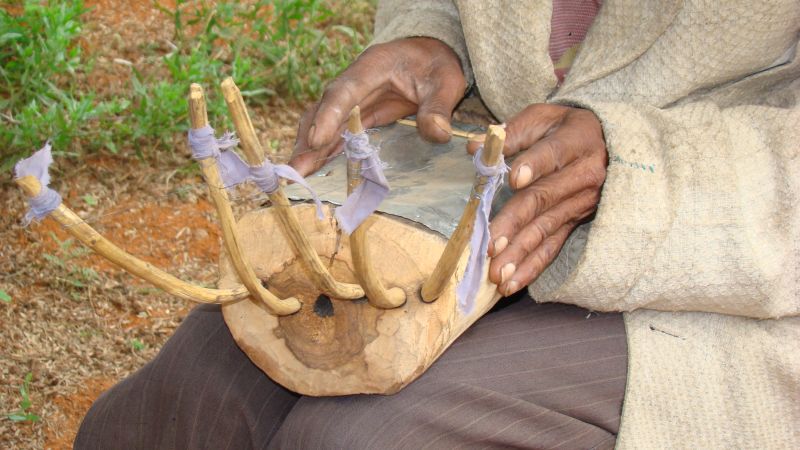
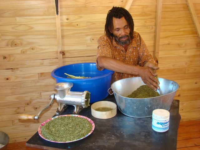
The route description, 'Footprints of the San: Miles and Miles of histories', encapsulates the turbulent yet currently relevant history of the San people. Scarred by and forced to move because of tribal and Western conflicts, the San people left their 'footprints' crisscrossing Southern Africa. It is hoped that the route will help the !Xun, Khwe and Khomani San communities enjoy the benefits of modern-day life whilst keeping their culture alive.
This route, with its cultural theme, also contributes to Open Africa’s vision of showcasing diverse and uniquely African natural and cultural attractions. It complements the other nearby Open Africa routes, the Kimberley Diamond Route and the Kalahari Red Dune Route, which also provide accommodation that is missing on the Footprint of the San Route itself.
Points of interest along the way:
Nooitgedacht Glacier Floor:
Location: Located between Kimberley and Barkly West, Northern Cape, South Africa. Travel north-west out of Kimberley towards Barkly West on the R31 for 20km until you see the “Glaciated Pavement” sign. Turn right onto the dirt road. Travel for 6km and stop beyond the stone house at the small, round-roofed structure.
Contact Person: David Morris, McGregor Museum, PO Box 316, Kimberley, Northern Cape, 8300, South Africa
Tel: +27 53 842 0099.
Fax: +27 53 832 9311.
E-mail: dmorris@museumsnc.co.za
What is there to see? Three sections of glaciated pavement with over 250 Bushman and Khoe rock engravings. Eland, geometric motifs, giraffe, human figures, rhinoceros and historic graffiti. See the Vaal River in the distance. The site can be very hot in summer.
Additional information: Limited on-site information and it is wise to first visit the McGregor Museum. Nooitgedacht is one of South Africa’s 12 rock art national monuments and also the site of alluvial diamond diggings.
Recommended reading: Morris, D 1989, ‘Archaeology for tomorrow: the site museum as classroom at Nooitgedacht’, SAMAB 8:291-294.
Canteen Kopje, the first alluvial mining site in South Africa and an archaeological dig site:
Canteen Kopje, near Barkly West, has been mentioned in the archaeological literature for almost a century. Eminent historians including C van Riet Lowe, the Abbe Breuil and J Desmond Clark visited and described it, yet only recently has the site been investigated systematically.
The recent research was made possible by a grant from the Royal Netherlands Embassy, which (together with support from the US Embassy) also provided for development of information displays at Canteen Kopje and the creation of a new Barkly West Museum. None of this – research or museum development – would have been possible without the support of the community. When in 1997 pressure was exerted for Canteen Kopje, a national monument, to be deproclaimed for renewed diamond digging, the community recognised the value of conserving heritage for education and tourism.
At issue was more than just the principle of preserving a declared site. It is true that by the 1960's the significance of Canteen Kopje had seemed somewhat diminished. The validity of the elaborate Vaal River sequence of alluvial deposits, and their correlation with past climates and a succession of archaeological 'type fossils', had been called into doubt. Besides, accumulations of stone tool assemblages in alluvial settings (ie deposited by a river, thus not in primary context) were of limited archaeological meaning. But the first systematic archaeological investigation of Canteen Kopje itself (by Beaumont, from the late 1980's), drawing also on the detailed geological assessments by Helgren and by De Wit, has led to a revision of that pessimistic view. The site is now known to be characterised by a stratified deposit with distinct gravel or, rather, rubble units – containing artefacts – that are mainly of colluvial (as opposed to alluvial) origin, and possibly spanning Lower to Middle Pleistocene times. These units are capped by wind-blown Hutton Sands. An estimate based on a sample since recovered from the site indicates that it must contain somewhere in the region of 100-million stone artefacts. The site is archaeologically significant, and the bid to save it from being mined away entirely was far from trivial.
Excavations were located in two parts of the site: one within the declared area (Area 1), and one outside it (Area 2, since completely mined away). The excavated samples from Stratum 1, Stratum 2a and Stratum 2b Upper have been analysed by John McNabb, while those from Stratum 2b Lower have been examined by Peter Beaumont, but remain to be classified. From the sections in the excavations and in several old diggers’ pits, the overall stratigraphy of the site has been deduced:
Stratum 1: Wind-blown Hutton Sands that extended over much if not the entire site. Horizontal palaeosols and lenses within this unit, currently awaiting further investigation, represent four successive land surfaces, which signify resting phases in the deposition of the unit. Later Stone Age artefacts occur on the surface, while MSA and Fauresmith are present within the Hutton Sands and at the interface with Stratum 2a.
Stratum 2a: This unit (1.8m thick) appears to have covered all of the site beneath Stratum 1, and is the unit traditionally associated with Canteen Kopje. It was formerly characterised as Younger Gravels II and as Rietputs A. This rubble is made up of clasts (broken-down rock), mainly of cobble size, in a matrix of pale orange sand.
Stratum 2b: This unit, found in the excavations in Area 1, was previously unrecognised, and consists of Upper (1.4m thick) and Lower (5.6m thick) sub-units, with stratification within them. Stratum 2b rests on andesite bedrock.
The 'gravels' at Canteen Kopje are interpreted as a colluvial lobe built up largely by gravitation from the adjacent hill (as previously posited by Alex du Toit and Helgren). There is little marked abrasion on andesite cobbles and artefacts within it. In section, the rubble surface is not flat, but dips perceptibly from east to west, with evidence of two possible pulses of accumulation, in which Stratum 2b represents the first, and Stratum 2a a second, more extensive accretion over the entire site. Small, well rounded, non-andesite pebbles within these units are derived from vestiges of the Older Gravels on the crest of the adjacent hill. It is suggested that the formation of this deposit took place largely during arid periods, when hillside sediment and disintegrating bedrock was only loosely held by reduced vegetation cover and then gravitated downwards as a result of sporadic torrential downpours.
Analysing the archaeological material from Canteen Kopje (Beaumont and McNabb 2000), John McNabb notes that “the vast majority of artefacts, in any raw material, were only slightly worn. This is particularly true of the andesite pieces which predominate. These can not have travelled very far from their point of original manufacture. None of the artefacts showed any sign of the edge chipping and pitting that is characteristic of transport by water.”
Wonderwerk Cave:
The most interesting feature of Wonderwerk Cave, located off the Olifantshoek road, is bushman paintings on its walls, dating back 10 000 years.
The cave was used as shelter by the first white settlers, P Bosman and his family, who lived in the cave for some time. Later the bat guano of the cave was mined and used as fertilizer. This exploitation destroyed vast amounts of sediment and its contents, but the found artefacts led to the first archaeological excavations. Since 1940 numerous excavations have taken place in this cave, and they still go on.
The cave was privately owned by the Bosman and Niewoudt families until 1993. Because of the importance of the site, it was ceded to the McGregor Museum, which managed the scientific exploration. The McGregor Museum established a small museum at the site which explains the finds and their whereabouts. The museum is part of a cave visit.
Today the cave is protected by an iron grid. It is possible to visit the cave and the excavations, but there are no regular tours. Depending on the activities at the site, the archaeologists or the farmers at the adjacent farm show the cave to visitors.
The cave is a karst cave, but from the speleological point of view it is rather dull. There is a short passage with a single dripstone formation, a stalagmite two metres high.
How to get there:
Take Kuruman-Danielskuil road, 45km from Kuruman, turn off to Wonderwerk Cave – it is well signposted.
Orange River:
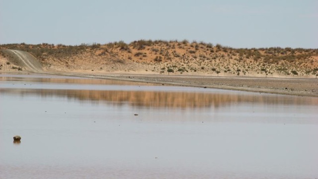
The Orange River, South Africa’s major river, rises in the Drakensberg in Lesotho, where it is known as the Senqu. Leaving Lesotho, it flows westward for some 2 200km until it flows into the Atlantic Ocean at Alexander Bay. At the source of the Orange River the rainfall is approximately 2 000mm annually and this decreases as the river flows westward. At its mouth the rainfall is less than 50mm annually.
From Lesotho’s border to below the Van der Kloof Dam the river bed is deeply incised. Further downstream the land is low-lying with large areas under irrigation. The total catchment of the Orange River (including the Vaal) extends over 973 000km², ie about 77% of the land area of South Africa (1 268 535km²). Approximately 366 000km² (38%) is situated in Lesotho, Botswana and Namibia.
Griquatown:
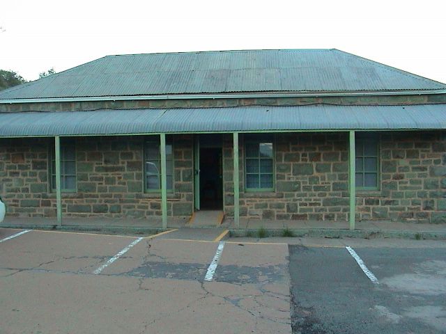
Griquatown is a sheep farming town (primarily dorpers, a South African breed). It is situated in the Northern Cape, about 150km from the city of Kimberley. It has the distinction of being the first town to be established north of the Orange River.
In 1801 William Anderson and Cornelius Kramer, of the London Missionary Society, established a station among the Griqua at Leeuwenkuil. The site proved to be too arid for cultivation, and in about 1805 they moved the station to another spring further up the valley and called it Klaarwater. Their second choice was little better than their first, but for many years a lack of water prevented any further development. The name of the settlement was changed later to Griquatown, or Griekwastad in Afrikaans. They lived among a mixed nomadic community of the Chaguriqua tribe and bastaards (people of mixed origin) from Piketberg. Their two leaders, Andries Waterboer and Adam Kok II, later had a dispute and Kok left for Philippolis.
From 1813 to July 7, 1871, the town and its surrounding area functioned as Waterboer's Land. Waterboer himself lived in a 'palace', which in reality was a house with six rooms. A monument for Waterboer was later erected near the town’s hospital.
Dr Robert Moffat and his wife Mary, on their way to the town of Kuruman, were residing in Griquatown when their daughter, also Mary (who later married David Livingstone), was born in 1821. There is now a museum dedicated to her rather than the founder of the town, William Anderson. Griquatown was later the capital of the British colony Griqualand West from 1873 to 1880, with its own flag and currency, before it was annexed into the Cape Colony.
Nowadays, the town is best known for the semi-precious stones found there, particularly tiger’s eye and jasper.
Nearby routes
Augrabies Contrast Route
Northern Cape, South Africa: This route forms a U-shape along both banks of the Orange River, the base of the U being the only place where vehicles can cross the river.
Kalahari Oasis Route
Northern Cape, South Africa: This route centres on Upington, an oasis fed by the Orange River and surrounded by the harsh Kalahari Desert.
Kalahari Red Dune Route
Northern Cape, South Africa: This route, full of natural and cultural treasures, extends north of Upington into the area of South Africa that fits between Namibia and Botswana. It incorporates the Kgalagadi Transfrontier Park.
Kamiesberg Route
Northern Cape, South Africa: This route stretches from the west coast to the Kamiesberg Mountain Range and links with the Namaqua National Park in the Namaqualand region, famous for its wild flowers. The route is in the centre of the Succulent Karoo Biodiversity Hotspot.
Kimberley Diamond Route
Northern Cape, South Africa: This route centres on the town of Kimberley, where a diamond mining rush began after the first stone was discovered in 1866. Surrounding Kimberley are the sites of some important battles of the Anglo Boer War, as well as rock art sites.
Richtersveld Route
Northern Cape, South Africa: This route covers the mountainous desert region in the north-west corner of South Africa. The Richtersveld has the highest diversity of succulent plants in the world and is also of interest to artists, geologists and those interested in indigenous culture.


Comments and Reviews
Add a comment
See all comments about this route