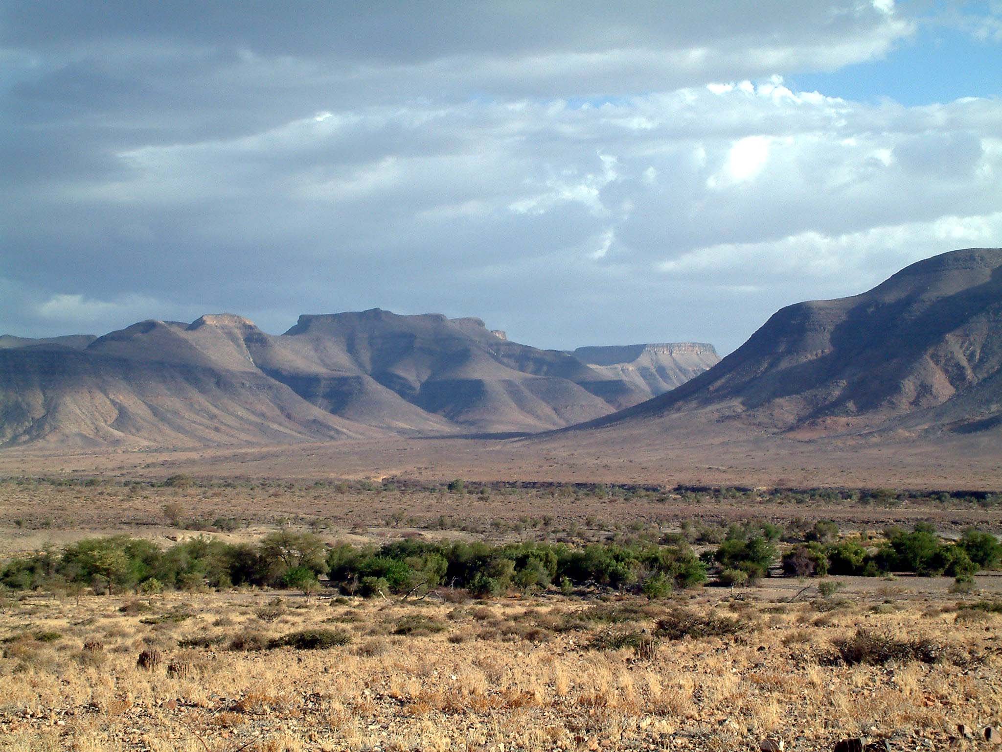

The Nama Karoo covers most of southern central Namibia, driving a deep wedge northwards of the Orange River (and South Africa) to about 120km south of Windhoek, with a narrow strip along the edge of the Namib reaching up to Angola. The sedimentary geological formations take on dramatic proportions in the Fish River Canyon, the second-largest canyon on Earth, formed during the break-up of Gondwanaland some 130-million years ago.
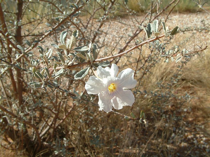
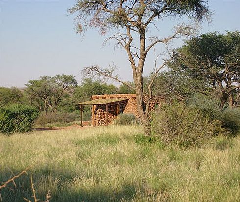
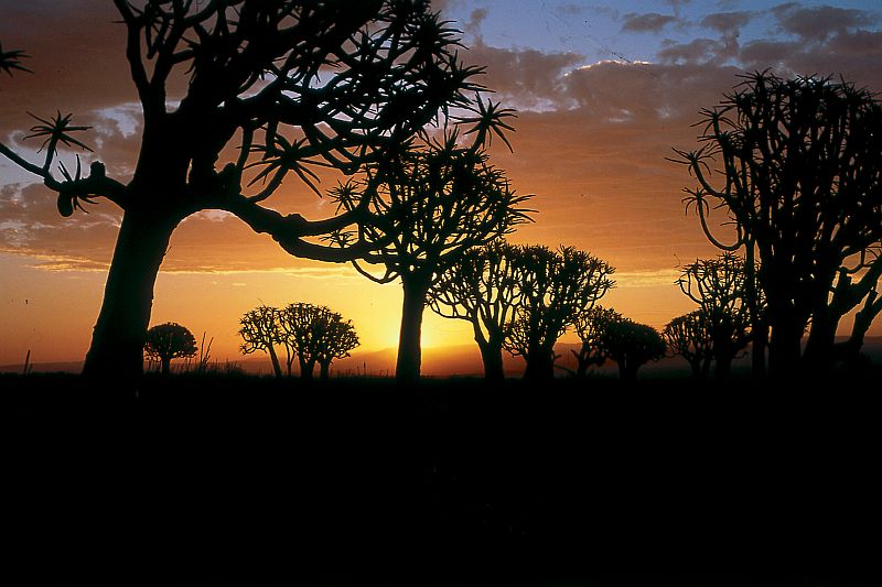
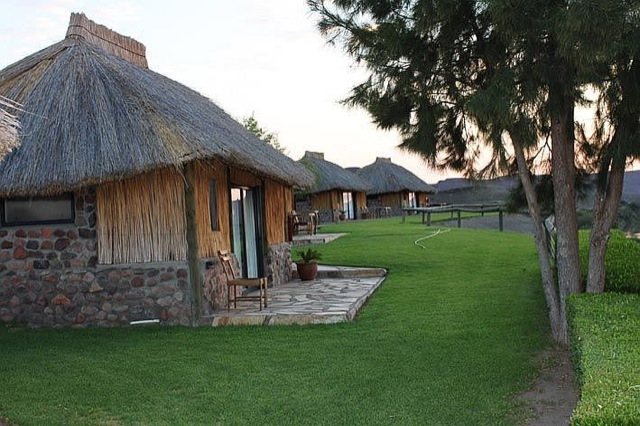
The vegetation is characterised by dwarf shrubs and scattered grasslands, while the quiver tree is a fascinating and distinctive icon for the south. Various hikes and drives afford one an opportunity to view the increasing herds of springbok, and also of oryx, kudu, mountain zebra and ostrich. Much of the Nama Karoo consists of wide plains, broken only by the dark, enigmatic massif of Brukkaros Mountain, some 120km north of Keetmanshoop. Perhaps it was the tranquillity of this huge desert that inspired the construction of a fairytale castle in the midst of this landscape at Duwiseb, to the west, a century ago.